Free avalanche mapping tool on GEP
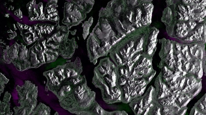
A new processing chain is available on the Geo-hazards Exploitation Platform (GEP). Its core is the avalanche detection method demonstrated in an open call project led by Norce. Taking advantage of the geo-hazards community platform’s new capabilities, anyone can exploit the simple, intuitive user interface and process Sentinel-1 data to detect and monitor avalanches on …