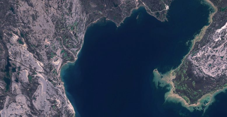
Enhanced Satellite Derived Bathymetry (SDB) with Sentinel-2
Thanks to the work performed within the Sentinel coastal charting worldwide project, the effectiveness of Sentinel-2 data for bathymetry mapping has been proven. Read the full story.
While carbon dioxide is more abundant in the atmosphere and therefore more commonly associated with global warming, methane is around 30 times more potent as a heat-trapping gas. Given its importance, Canadian company GHGSat have worked in collaboration with the Sentinel-5P team at SRON Netherlands Institute for Space Research to investigate hotspots of methane emissions …
In February 2020, ESA (Directorate of Earth Observation Programmes – EOP) and EC (Directorate-General for Research and Innovation – R&I) launched a joint Earth System Science Initiative, formalised with the signature of a working arrangement between both institutions. The initiative aims at joining forces to advance Earth System Science and provide a coordinated response to …
Trace gases are produced and destructed by physical, biological and chemical processes. This natural cycle has been perturbed over the past decades by the global population increase and by the related boost of anthropogenic activities. The composition of the atmosphere is undergoing major and rapid changes with significant impacts on a global scale, affecting the …
All over the world, countries have – to a greater or lesser extent – taken measures to reduce the spread of the coronavirus. In particular, people movements have been restricted worldwide. The decrease in traffic and industrial activity, the two main sources of nitrogen dioxide (NO2) in urban areas, led to unprecedented decreases in NO2 …
Coders, entrepreneurs, scientists, designers, storytellers, makers, builders, artists, and technologists are invited to participate in a virtual hackathon on May 30-31 dedicated to putting open data to work in developing solutions to issues related to the COVID-19 pandemic. NASA, ESA (European Space Agency) and JAXA (Japan Aerospace Exploration Agency) are contributing unique capabilities ranging from …
The CryoTEMPO-EOLIS (Elevation Over Land Ice from Swath) product, now operationally available at on the CryoSat Dissemination Server, exploits CryoSat’s SARIn mode and the novel Swath processing technique to deliver increased spatial and temporal coverage of time-dependent elevation over land ice, a critical metric for tracking ice mass trends. This is the outcome of a …
In a recent paper published in Remote Sensing, scientists used data from the Ocean Colour Climate Change Initiative to study the long-term patterns of primary production and its interannual variability. Combining long-term satellite data with in situ measurements, they assessed global annual primary productivity from 1998-2018. Being able to observe and quantify primary production over …
An important new tool to combat climate change is now available. Using data from the Copernicus Sentinel-5P satellite, this new technology makes it possible to track and attribute methane emissions around the world. Read the full story.