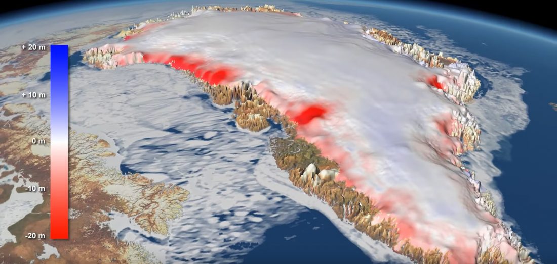
The CryoTEMPO-EOLIS (Elevation Over Land Ice from Swath) product, now operationally available at on the CryoSat Dissemination Server, exploits CryoSat’s SARIn mode and the novel Swath processing technique to deliver increased spatial and temporal coverage of time-dependent elevation over land ice, a critical metric for tracking ice mass trends.
This is the outcome of a number of activities, including the CryoSat+ CryoTop Evolution project.
Read the full story.