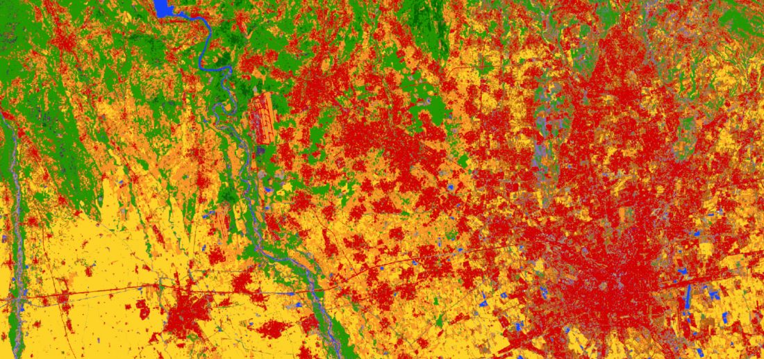
An experimental map of Europe at 10 m resolution displaying 13 land-cover classes can be viewed in full resolution on the CREODIAS EO Browser (select S2GLC and click search), or accessed as a WMS layer for expert use.
It has been developed by processing Sentinel-2 data on the cloud with an almost fully automated approach.
Read the full story.