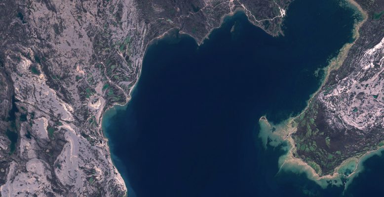
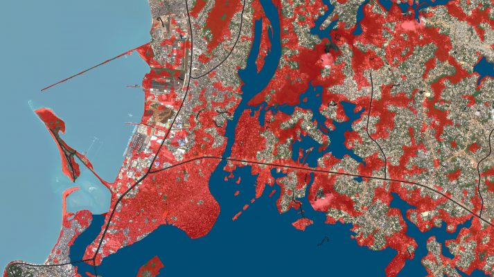
Enhanced Satellite Derived Bathymetry (SDB) with Sentinel-2
Thanks to the work performed within the Sentinel coastal charting worldwide project, the effectiveness of Sentinel-2 data for bathymetry mapping has been proven. Read the full story.
Thanks to the work performed within the Sentinel coastal charting worldwide project, the effectiveness of Sentinel-2 data for bathymetry mapping has been proven. Read the full story.
Trace gases are produced and destructed by physical, biological and chemical processes. This natural cycle has been perturbed over the past decades by the global population increase and by the related boost of anthropogenic activities. The composition of the atmosphere is undergoing major and rapid changes with significant impacts on a global scale, affecting the …
According to the World Economic Forum the production of agriculture commodities including palm oil, soy, beef, timber, cocoa and rubber are accounting for the majority of deforestation world-wide. This ‘deforestation trajectory’ is directly associated with a growing carbon footprint of basic food staples therefore a wide range of new programmes and agribusinesses commitments emerge to …
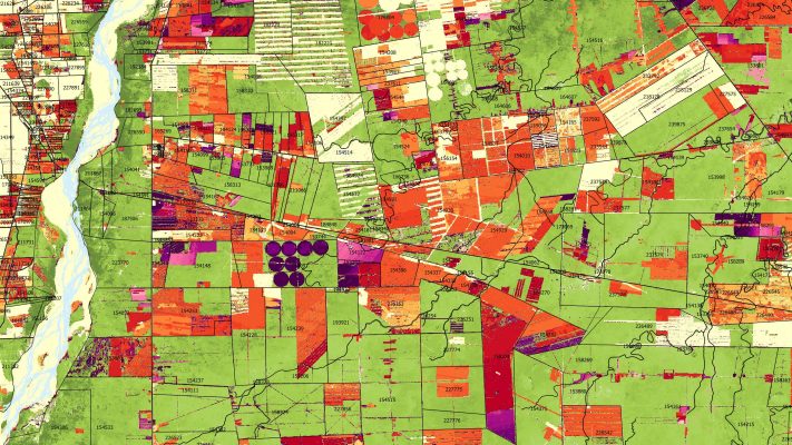
The movie above is demonstrating how the QuantEO service may be used to detect water over time in Sub Saharan Africa from Senegal to Ethiopia. This is a sample application of the service, developed by Pixstart within an Open Call project, which allows to produce classified Sentinel-2 images on demand and near real time …

The EO4SD-Urban project is pleased to release the recordings of a free webinar series on satellite-derived geospatial information for urban development. The webinars are part of the capacity building offered to our project partners (development bank staff, technical staff from participating cities, etc.). The webinars introduce the latest methodologies of obtaining geospatial information from satellite …
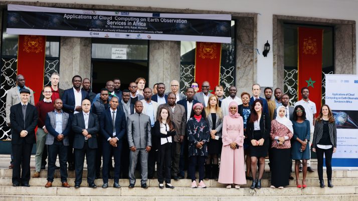
ESA partnered with the African Union Commission, JRC and EUMETSAT to train experts from 25 African countries in cloud computing for EO applications in order to exploit the full power of Copernicus Sentinel-1&2 observations for monitoring Africa. The training, hosted by the CRASTE center in Rabat, Morocco mid October 2019, is part of the GMES …

Polar regions are undergoing major and drastic changes with significant impact at global scale. Addressing this unique set of global challenges will require more than ever that scientists advance their understanding of the different drivers governing changes in Polar regions, its associated processes and its potential impacts and translate that knowledge into solutions for society, …
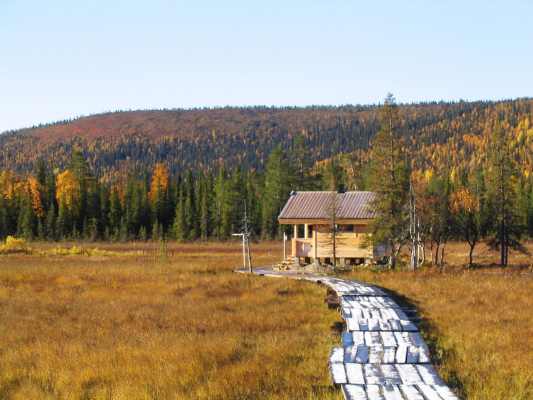
Methane continues to increase in our atmosphere, and now researchers want to quantify the role of high Northern latitudes to this increase. Earth-observing satellites open the window to this remote, rapidly changing environment. Carbon cycle in the Arctic and boreal regions links strongly to the evolving cryosphere – ice, snow and frost. Especially natural methane …
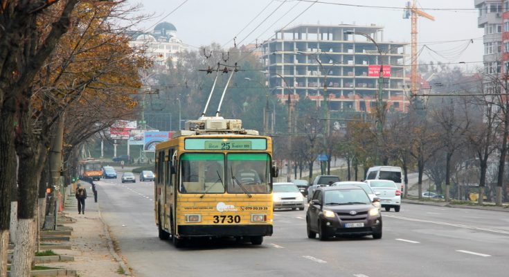
Chișinău is the capital and largest city of the Republic of Moldova and the country’s main industrial and commercial centre and transportation hub. While still being the least urbanised European country with over 55% of the population residing in rural areas (as of 2014), particularly Chișinău is expected to be faced with a strong inflow …
The European Space Agency’s Earth Observation for Sustainable Development (EO4SD) Climate Resilience Cluster is holding a webinar to demonstrate the potential for Earth Observation to contribute to climate resilient development objectives. The webinar “How can EO data support climate resilient development?” will take place twice on the 11th June 2019: 10-11 am CEST / 3-4 …