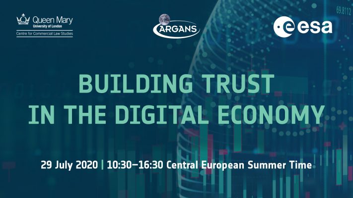
Building Trust in the Digital Economy Workshop
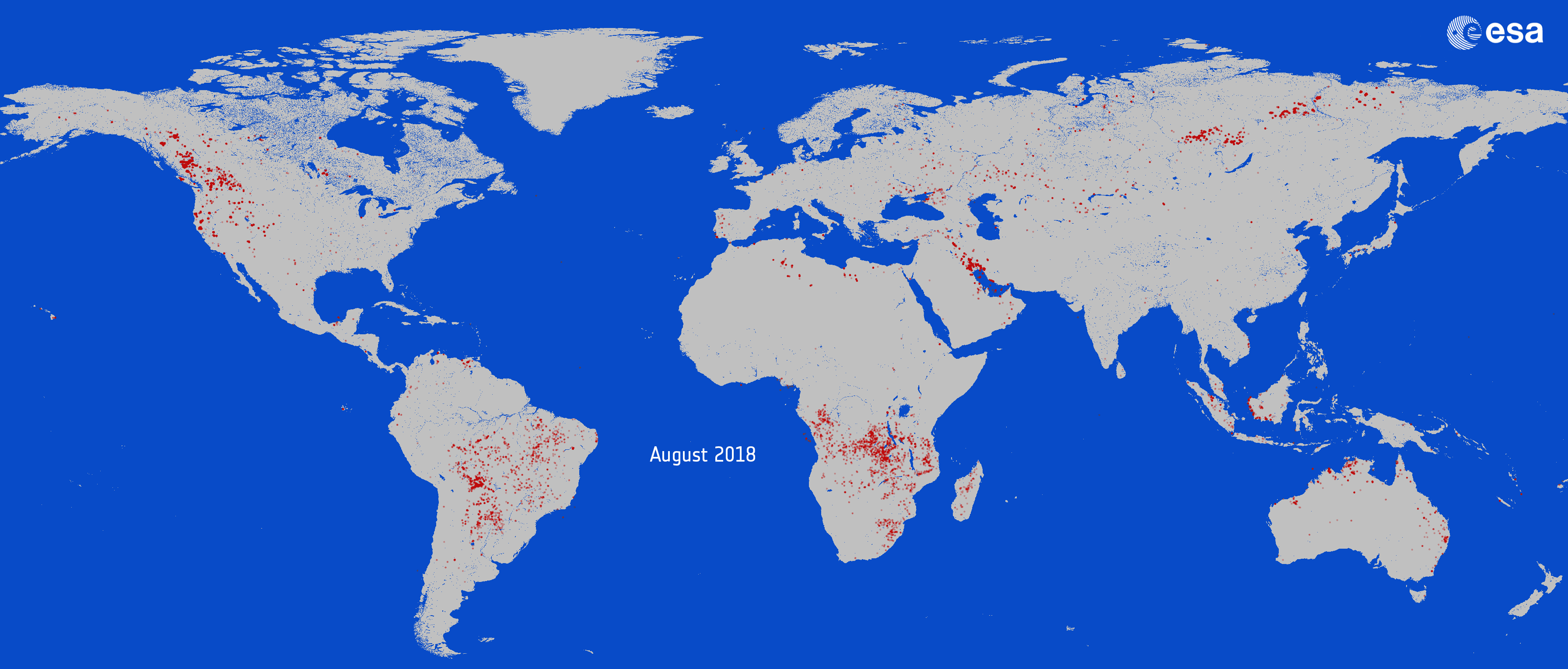
Online workshop, July 29 2020 10:30-16:30 CET EO information services are undergoing a major change due to rapid technological developments. Cloud computing is now a central element of broadening the use of satellite imagery, such as Earth observation data (EO), for scientific, social and economic purposes. This shift to platform-based economy has implications concerning …