
Satellite Environmental Information and Development Assistance – 2019
An analysis of the longer-term prospects for expanding the use of satellite-based environmental information in Development Assistance operations and activities.
An analysis of the longer-term prospects for expanding the use of satellite-based environmental information in Development Assistance operations and activities.
The goal of the EO4SD-Lab project is to facilitate and promote increased use of Earth Observation (EO)-derived information by a range of users within the sustainable development community. This will be achieved by the creation and deployment of an EO- processing and e-collaboration environment dedicated to Development Assistance (or Development Cooperation or Development Aid). This …
Monitoring of cropland has been critical for several national and international programmes (e.g., Sustainable Development Goals – #2 Zero Hunger, European Common Agriculture Policy). Furthermore, early identification of crops is becoming more stringent in the context of climate change that can influence severely crop yields in some parts of the world. Given the size of …
Recent years have brought tremendous advancements in the area of automated information extraction from Earth Observation (EO) imagery, but problems still remain since even state-of-the-art algorithms based on imagery alone do not provide a satisfactory solution. In these situations, it is possible to exploit the crowdsourcing of human intelligence, which is a recent promising area …
At present NGOs/CSOs have limited expertise in accessing and utilizing EO data. This project is working with NGOs adressinghuman rights concerns and will develop methodologies for integrating in-situ (citizen data collection), drone and EO data to enhance the collection of information and evidence on activities affecting human rights in developing countries
The ESA EO4SD Disaster Risk Reduction project aims to promote the adoption of Earth Observation-based products and services mainstreamed into the working processes of IFIs funded projects that seek to prevent or mitigate the adverse impacts of natural disasters in developing countries. Earth Observation applied to disasters is evolving quickly and has proven to be …
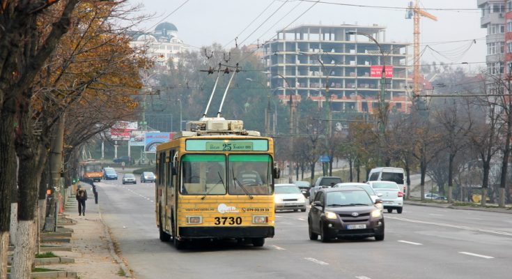
Chișinău is the capital and largest city of the Republic of Moldova and the country’s main industrial and commercial centre and transportation hub. While still being the least urbanised European country with over 55% of the population residing in rural areas (as of 2014), particularly Chișinău is expected to be faced with a strong inflow …
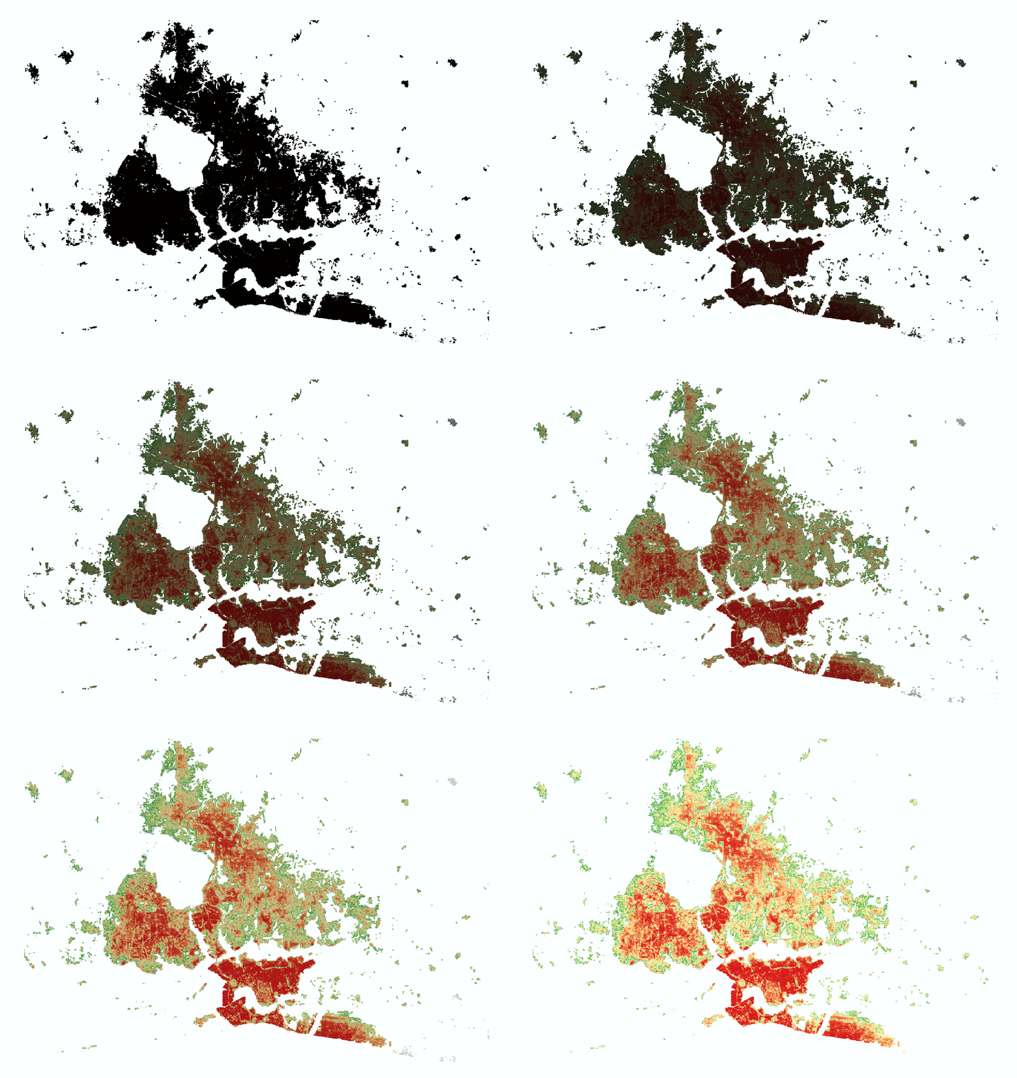
Decision-makers, planners and scientists can easily find in the Urban Thematic Exploitation Platform (U-TEP) resources, including multi-source data and visualisation/analytics tools, that help them creating and maintaining sustainable urban environments in major cities but also in smaller, rural areas. One of the recent add-ons to the rich database is the World Settlement Footprint 2015 (WSF-2015), …
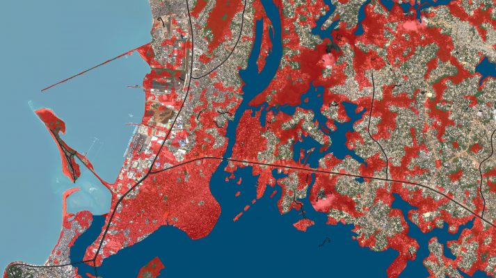
The European Space Agency EO4SD Climate Resilience cluster aims to demonstrate the potential for Earth Observation data to support climate resilient decision making at regional and national scales. Drawing on the project’s collaboration with IFIs, the webinar will showcase real-life use cases of EO-based data for climate resilience, discuss the associated opportunities, and provide a short …
The European Space Agency EO4SD Climate Resilience cluster aims to demonstrate the potential for Earth Observation data to support climate resilient decision making at regional and national scales. Drawing on the project’s collaboration with IFIs, the webinar will showcase real-life use cases of EO-based data for climate resilience, discuss the associated opportunities, and provide a …