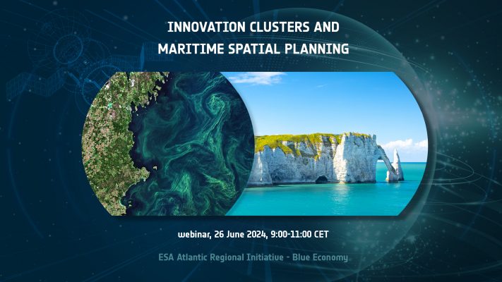
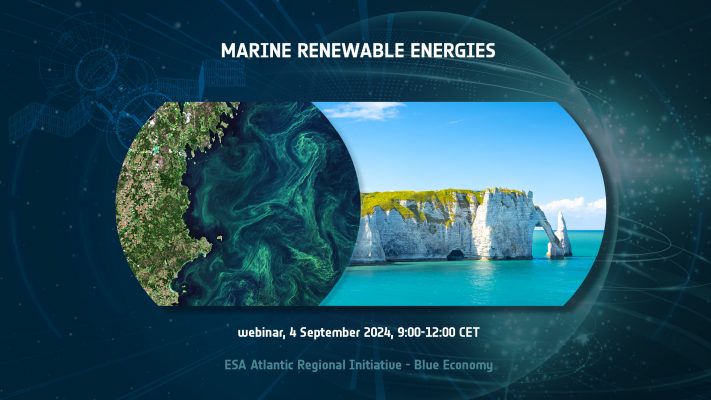
Tag: Atlantic
EO for a Resilient Society: Intertidal Topography Mapping in the temporal domain (SAR-TWL), towards operationalisation of a global monitoring tool.
Prime company: National Oceanography Centre (NOC) (GB)Intertidal zones form an interface between land and sea. They are important features of the coastal landscape providing a multitude of ecosystem services and forming a critical habitat for a wide range of species. Satellite Earth Observation (EO) unlocks new capabilities for monitoring intertidal zones, which are under significant pressure from multiple sources including coastal …
4DATLANTIC Dust-Ocean Modelling & Observing Study (DOMOS)
Prime company: ECMWF (GB)The Dust-Ocean Modelling & Observing Study (DOMOS) will advance the understanding of dust and ocean interactions in a changing climate through an innovative use of model and observations. The project will develop a new retrieval of dust deposition from satellite lidar data (CALIPSO and Aeolus), will validate the dust deposition field from the CAMS reanalysis …
4DATLANTIC EBUS PRIMUS
Prime company: Plymouth Marine Laboratory (GB)Primary productivity in upwelling systems (PRIMUS) aims to provide the best possible characterisation of net primary productivity (NPP) and its relationship to upwelling in Atlantic Eastern Boundary Upwelling Systems (EBUS). Funded through ESA’s Regional Initiative, PRIMUS will produce a 25-year time series of 1-km NPP in all Atlantic EBUS, and experimentally, at higher-resolution (300m) using …
4DATLANTIC – OCEAN HEAT CONTENT – (OHC)
Prime company: MAGELLIUM (FR)This project aims at developing, testing and implementing innovative methods able to use space geodetic data from altimetry and gravimetry to generate the regional ocean heat content (OHC) change over the Atlantic Ocean. The ESA MOHeaCAN project strategy has been pursued and refined at regional scales both for the data generation and the uncertainty estimate. In …
ESA Coastal Erosion webinar 2020
This webinar is addressed to Coastal Monitoring users, scientists, students, representatives from National, European and International Space Agencies, Value Adding Industries, Laboratories and Universities. Replay the webinar:
Handbook for an insight of the Atlantic Regional Initiative
An interactive guide to the Atlantic Regional Initiative ecosystem, explaining how to get involved, from participating to the calls to learning about ongoing projects up to taking advantage of the data and services, has just been released. Read it now!
Atlantic Regional Initiative data handbook
An interactive guide to the Atlantic Regional Initiative ecosystem, explaining how to get involved in various ways, from participating to the calls to taking advantage of the data and services, has just been released.
Atlantic Regional Initiative – Applications: Offshore Wind Energy
Prime company: Deimos Engenharia (PT)Services based on Earth Observation (EO) can provide valuable information during the design stage by providing a long time series of wind data that allows a better assessment and characterization of the wind resource energy production potential of different possible wind farm (WF) sites, helping to select the most advantageous ones. These typical site wind …
European Week of Regions and Cities
The European Week of Regions and Cities is an annual event during which cities and regions come together to discuss common challenges, exchange ideas on possible solutions, share experiences and good practices. It’s an opportunity for establishing cooperation and networking. The 2020 (18th) edition focused on the following themes: Green Europe Cohesion and Cooperation Empowering …