Towards a European AI4EO R&I Agenda – 2018
White paper with recommendations from the AI and EO community workshop held at ESA/ESRIN in March 2018.
White paper with recommendations from the AI and EO community workshop held at ESA/ESRIN in March 2018.

Over the last decade, rapid developments in digital technologies and in our capability to monitor our home planet from space with Earth Observation (EO) satellites have led to new and huge opportunities for science and businesses. There is an increasing need to mine the large amount of data generated by the new generation of satellites …
The annual global CCI land-cover maps at 300m resolution, spanning a 24-year period, from 1992 to 2015, have been used to develop the new OECD Green Growth headline indicator on land-cover change. More recently, the same CCI land-cover team has also demonstrated the performance of the Copernicus Sentinel-2 mission to deliver 10 m resolution land-cover …

SAR altimetry missions are boosting new developments in fields that exploit the quality of high-resolution products for sea surface topography, wave height, and wind speed. To review recent progress in and discuss future plans for altimetry technology at coasts, 88 scientists from 28 countries met at the 11th Coastal Altimetry Workshop earlier this summer. Read more …
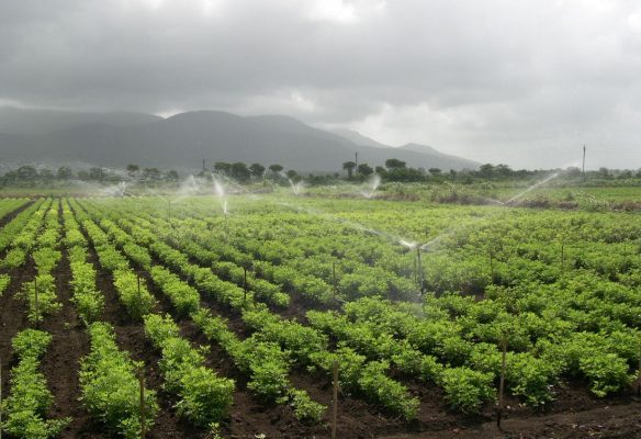
Feeding a growing global population is a major concern, but efforts to grow more food will place an added burden on precious supplies of freshwater. New research shows how measurements of soil moisture from space could be used to understand how much water is used for agriculture and potentially help farmers manage consumption. A new …
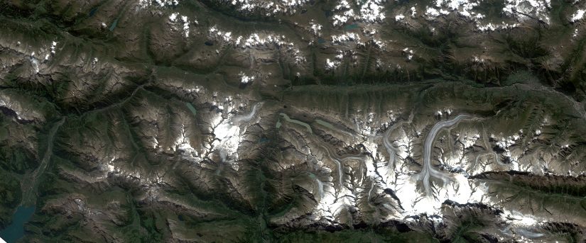
As described in the Alpine Convention, the Alps, with their biodiversity capital, water and wood reserves, are the natural, cultural, living and economic environment for nearly 14 million people and an attractive tourist destination for approximately 120 million guests every year. As explained in the EU Strategy for the Alpine Region (EUSALP) this wider region …
In order to meet the reporting obligations from international conventions, European directives and national legislations, countries are required to produce up to date, detailed and harmonised information on their land cover and its use, at different scales, and for different domains of applications. Austria initiated its Land Information System Austria (LISA) in 2010 with the …
In order to meet the reporting obligations from international conventions, European directives and national legislations , countries are required to produce up to date, detailed and harmonised information on their land cover and its use, at different scales, and for different domains of applications. All Swedish stakeholders involved in land cover monitoring have emphasized the …
Capturing the status and trends of biodiversity and ecosystem services in urban landscapes represents an important part of understanding whether a metropolitan area is developing in a sustainable manner. The City Biodiversity Index (CBI) was developed by the Convention on Biological Diversity (CBD) as a tool to evaluate the state of biodiversity in cities and …
From the beginning of the years 2000, more than half of the world population live in cities and the overall trend of urbanization is growing at an unprecedented speed. The use of Earth Observations and their integration with other source of information into effective urban planning tools can produce a quantum leap in the capacity …