U-TEP webinars | Processing on the platform
August 19, 2019 @ 15:00 - 15:30 UTC+2
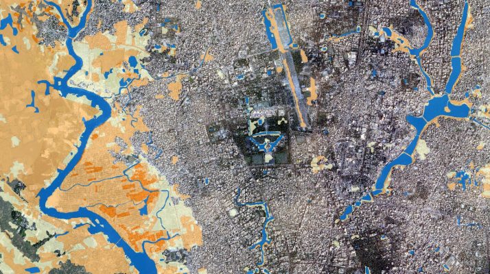
In this instalment of the webinar series, we will take a look at the processors prepared by the Urban TEP consortium. Subsetting of products available via the TEP Urban platform Generation of the TimeScan from S2 and Landsat data Zonal statistics for regions based on the TEP urban layers. As a part of this, we …