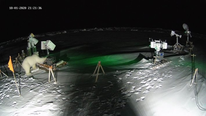
Polar bear helps out with MOSAiC experiment
Read recent news from the Campaign Earth ESA blog.
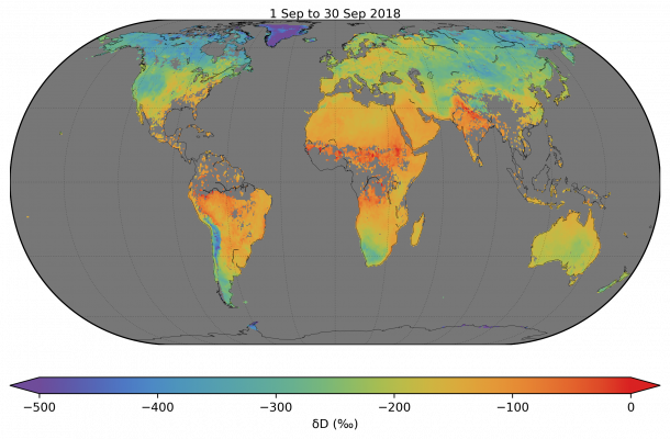
A new dataset of vertical column densities of H2O and HDO retrieved from short-wave infrared reflectance measurements by the TROPOMI instrument onboard the Sentinel-5p satellite was recently released. The data quality shows improvements in noise level compared to previous missions like SCIAMACHY. The retrieval methodology, the validation approach and demonstrative applications of the dataset are …
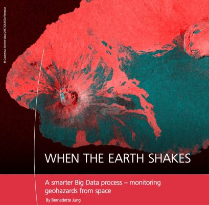
A smarter Big Data process – monitoring geohazards from space is the article published on the DLR Magazine regarding the work conducted on GEP by the DLR Earth Observation Center (EOC) team, and its applications in the Geohazards community. Read more about it.
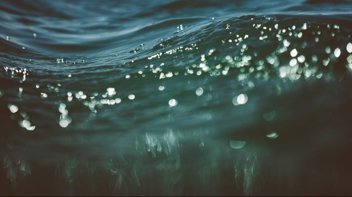
The Quasi-Analytical Algorithm was developed to derive inherent optical properties by analytically inverting the spectral remote-sensing reflectance. It is the algorithm used in the ESA Ocean-colour CCI project to retrieve particulate optical backscattering (bbp). Due to the high uncertainties still associated to QAA global retrievals of bbp, reliable accuracy estimates of the QAA are essential …
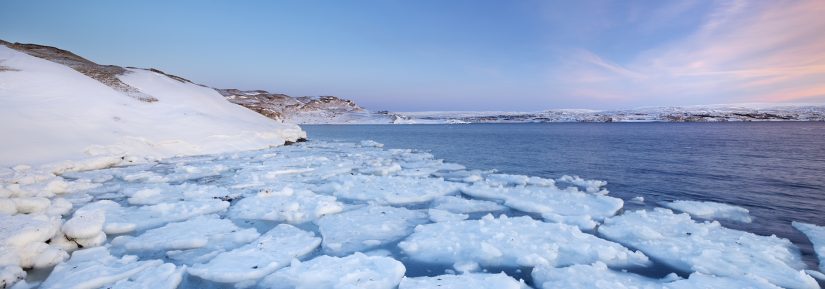
Accurate measurements of the sea ice area and thickness with the aid of ranging data provided by missions such as CryoSat-2 are crucial for the understanding of the transformations occurring in the Arctic, in light of observed changes in seasonality, increase of winter air temperatures and delays in freeze-up. An important factor in the calculation …
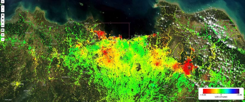
The P-SBAS Sentinel-1 processing on-demand, a service for ground deformation monitoring, has been developed and integrated by CNR IREA into the Geohazards Exploitation Platform (GEP) and is part of the Services Catalogue of the platform since last June 2019. Read more about it.
The Sentinel-2 MSI Level-1C and Level-2A may provide valuable screening products in the context of the Charter activations, in particular for fire events. Read about the new and advanced processing services currently being prepared to be available on the geohazards TEP. Featured image : Sentinel-2 RGB band combination (12, 8A and 4) highlighting hot …
The movie above is demonstrating how the QuantEO service may be used to detect water over time in Sub Saharan Africa from Senegal to Ethiopia. This is a sample application of the service, developed by Pixstart within an Open Call project, which allows to produce classified Sentinel-2 images on demand and near real time …
Currently we speak of the ‘golden age’ of Earth Observation (EO). Not only can we access a variety of data from heritage and current EO missions serving scientific and operational needs, new systems for monitoring our blue planet are constantly being planned, built, and sent into the Earth orbit. Regarding atmospheric science, a major step …
Scientists have developed a novel approach of using CryoSat to generate a unique time series of ice front positions for the Filchner-Ronne ice shelf – the second largest ice shelf in Antarctica. Applying a new method, called ‘elevation edge’, to CryoSat’s data has revealed that the entire Filchner-Ronne ice shelf advanced by more than 800 …