Modelling inner Earth in 3D
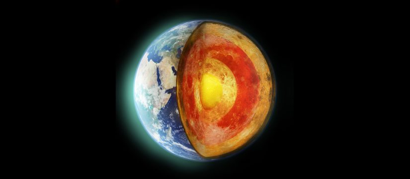
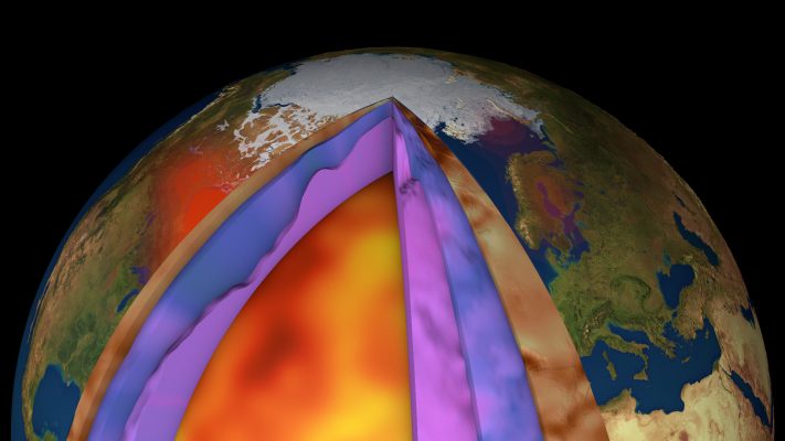
We are realising the new global model of Earth’s lithosphere and upper mantle by combining gravity anomalies, geoid height and gravity gradients complemented with seismic, thermal and rock information
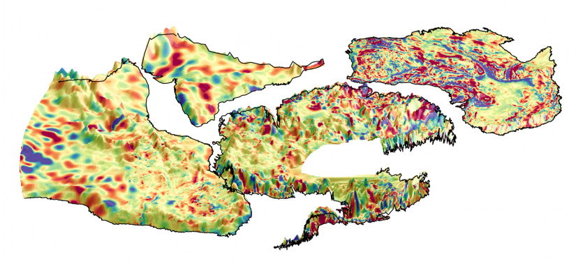
Ice sheet dynamics is strongly related to basal melting and geothermal heat flow, which in turn is influenced by crustal thickness variations. On the other hand, the lithosphere of the Antarctic continent is still poorly known. Different datasets (airborne gravity and magnetic measurements, seismological campaigns) exist but mostly suffer from limited spatial coverage over large …
The scope of the 3D Earth Science meeting is to discuss the use of satellite data in studying the structure and processes in the lithosphere and the interaction with the deep mantle and surface processes. Keynote lectures will present results from the 3D Earth project and beyond. The science meeting intends to collect feedback on …
The gravity gradients of the highly successful ESA Earth Explorer mission GOCE (Gravity field and steady-state ocean circulation explorer), which have been reprocessed by applying enhanced calibration strategies in the frame of the ESA project GOCE High-level Processing Facility (HPF), have reached a very high quality level, especially in the long-wavelength spectral range where the …
GOCE gravity images are revolutionising our ability to study the least understood continent on Earth, Antarctica
The combination of seismological and satellite gravity gradient imaging enhance our knowledge of Earth’s structure, especially in remote areas like the Antarctic continent, where even basic knowledge of lithospheric scale features is incomplete. A research team from Kiel University and the British Antarctic Survey exploited the satellite gravity gradients measured from 2009 to 2013 by …
BACKGROUND AND OBJECTIVES: European Space Agency (ESA) organises a series of summer schools on Monitoring of the Earth System to promote the exploitation of Earth Observation EO data across disciplines, with a specific focus on their assimilation into Earth System models. The two-week course, held in ESA/ESRIN (near Rome, Italy) from 30 July to 10 …
Every two years, ESA’s Earth observation summer schools draws young scientists from all over the world to learn more about remote sensing, Earth system science, modelling and monitoring, and how data can be used to better understand the world we live in. This year, the two-week summer school is being held on 30 July to …
Parts of Earth’s crust are rising very slowly owing to post-glacial rebound, but using GPS, researchers have found that West Antarctica is rising faster than almost anywhere else in the world. And, ESA’s GOCE gravity mission has, in turn, helped them to understand that the mantle below is unusually fluid. Read the full story.
The goal of this project is establish a global 3D reference model model of the crust and upper mantle based on the analysis of satellite gravity and (electro-)magnetic missions in combination with seismological models and analyse the feedback between processes in Earth’s deep mantle and the lithosphere. Selected case examples will provide the possibility to …