Advanced Inverse-SAR processing for characterizing moving targets – part 2
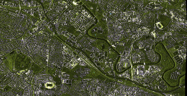
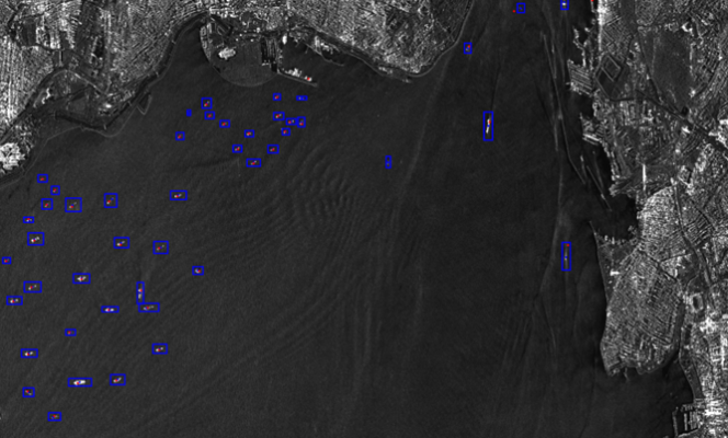
Building on the story published last February, this update highlights new advanced innovative Inverse-SAR (ISAR) algorithms developed and tailored for satellite platforms within the EO4Security ISAR project. These innovations support a wide range of use cases and represent significant progress in Earth observation for security applications. Techniques explored The following techniques were investigated: Parametric …