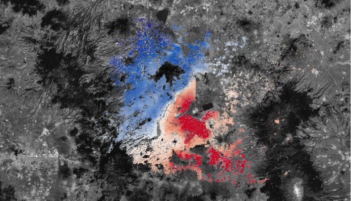
RUS Remote Training: Land Subsidence with Sentinel-1 data using SNAP
May 20, 2021 @ 14:00 - 17:30 UTC-2
RUS-Copernicus is organising a remote hands-on training session that will use the SAR interferometry (InSAR) technique to identify and map land subsidence over Mexico City. The session will use Sentinel-1 data and the ESA SNAP Sentinel-1 Toolbox. The session will consist of a live demonstration, followed by a time to repeat the exercise on pre-configured …