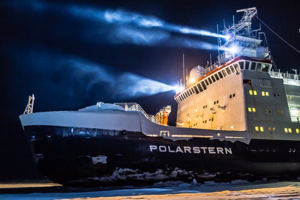
A year trapped in Arctic ice for climate science
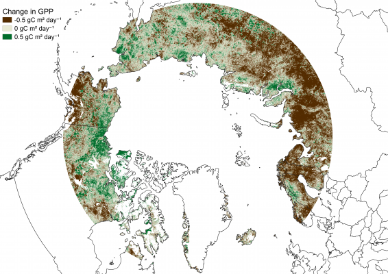
The Arctic is warming twice as fast as the global average, with consequences felt across the whole planet. A better scientific understanding of the complexities of the fragile Arctic environment is critical for policy decisions on climate-change mitigation and adaptation, and for setting up a framework for managing Arctic development sustainably. The Multidisciplinary drifting Observatory …