Modelling inner Earth in 3D
We are realising the new global model of Earth’s lithosphere and upper mantle by combining gravity anomalies, geoid height and gravity gradients complemented with seismic, thermal and rock information
Experiments show that SMOS can help improve errors in extreme events forecast lead times by 36–72 hours in the extratropics.
Ice sheet dynamics is strongly related to basal melting and geothermal heat flow, which in turn is influenced by crustal thickness variations. On the other hand, the lithosphere of the Antarctic continent is still poorly known. Different datasets (airborne gravity and magnetic measurements, seismological campaigns) exist but mostly suffer from limited spatial coverage over large …
Marking the start of a full week rich of scientific sessions, agoras, exhibits and events, with over 4000 participants from 80 different countries, the Living Planet Symposium opening session featured the following agenda: 09:00 Opening 09:05 Welcome by Italian Officials 09:20 Welcome by ESA Director General, Johann-Dietrich Wörner 09:30 Italy and Earth observation, Italian Space …
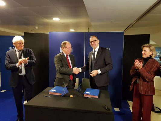
The Contribution Agreement between ESA and the EU on space technology activities was signed today by ESA Director General Jan Wörner and the European Commission’s Deputy Director-General for Internal Market, Industry, Entrepreneurship and SMEs Pierre Delsaux. Read the full story.
The Science and Applications with Sentinel-2 special issue of Remote Sensing of Environment has been completed with the last paper published on 5 April 2019. It features a selection of 28 key papers covering a wide range of new applications monitoring natural and human-induced dynamic processes up to national and even continental scale at high-resolution. …
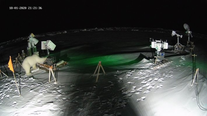
Observing phenomena occurring in remote locations at high latitudes is not an easy task. Apart from the scarcity of in-situ measurements available in locations such as Greenland, satellite observations with optical sensors are often hindered by the presence of clouds and lack of sunlight during wintertime. That is why scientists look at ways to combine …
The annual European Geosciences Union General Assembly is the largest and most prominent European geosciences event. Annually, it attracts over 14,000 scientists from all over the world, of which more than half are early career scientists. The EGU General Assembly 2019, taking place in Vienna (Austria) on 7–12 April 2019, will bring together geoscientists from …
The unprecedented spatial resolution offered by Copernicus Sentinel-5P’s Tropomi instrument means that we can now better analyse the complex relationship between tropospheric ozone and climate.
The loss of ice from Antarctica is one of the principal causes of contemporary sea level rise. Tracking the changes that are currently occurring across this remote and inaccessible continent requires systematic satellite monitoring programmes. From these unique observational platforms, robust long-term climate records can be developed, which help scientists to understand and to predict …