Tag: Sentinel-1
EOAFRICA Webinar: Flood Mapping with Sentinel-1 data
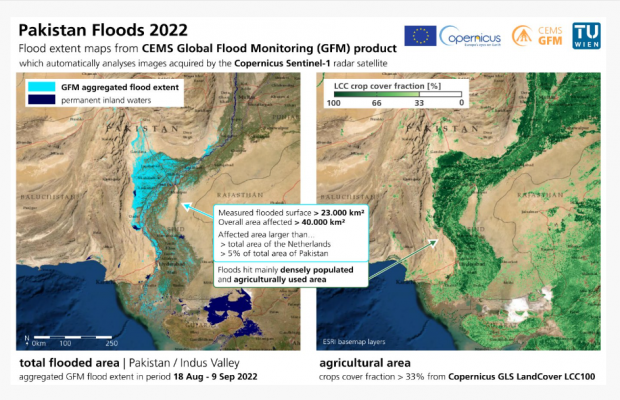
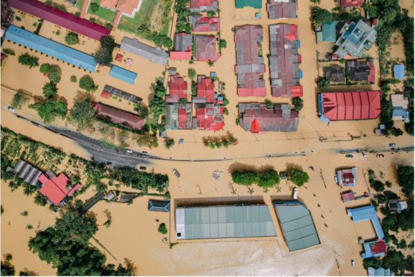
This webinar will focus on the importance and use of Sentinel-1 SAR data for flood mapping. With Sentinel-1 SAR data, we can map and analyse the affected flooded areas over a region, that may be not easily accessible, and even compare them with the official flood maps available.
EO for a Resilient Society: Intertidal Topography Mapping in the temporal domain (SAR-TWL), towards operationalisation of a global monitoring tool.
Prime company: National Oceanography Centre (NOC) (GB)Intertidal zones form an interface between land and sea. They are important features of the coastal landscape providing a multitude of ecosystem services and forming a critical habitat for a wide range of species. Satellite Earth Observation (EO) unlocks new capabilities for monitoring intertidal zones, which are under significant pressure from multiple sources including coastal …
Earth Observation Training Data Lab (EO-TDL)
Prime company: EARTHPULSE SPAIN, SL (ES)One of the most limiting factors of ML and AI for EO applications is the scarcity of suitable and accessible training datasets. Currently, the main barrier is that the generation of such datasets is a time consuming and expensive process. Typically access to high quality training datasets is very restricted; in some cases, domain experts …
DFIS – Multispectral Imaging Data Fusion in Space
Prime company: SKYLABS D.O.O. (SI)The main objectives of the activity are: to develop and evaluate an approach to performing effective data fusion of multispectral data on-board satellites (SWIR imager of TRISAT mission). The focus of the activity was on identifying (in collaboration with downstream users) Regions-of-Interest, then developing image processing techniques (band selection, compression, fingerprinting and classification) that can …
AI4FOOD
Prime company: VLAAMSE INSTELLING VOOR TECHNOLOGISCH ONDERZOEK VITO (BE)An unprecedented richness of data is captured by satellites every day, resulting in an ever-growing time series of EO data. Despite the extensive availability of data, there are still many challenges when defining procedures for extracting relevant information from long time series. The goal of the AI4FOOD project is to tackle the challenges that arise …
2021 WorldCover product
One year ago, on 20 October 2021, the new baseline global land cover product at 10 m resolution, exploiting Sentinel-1 and Sentinel-2 data, showing 11 land cover classes with unprecedented detail, was launched. Last 28 October 2022, 9 months from the last data take, the global product with data from year 2021 was released. Read …
RepreSent: Non-supervised representation learning for Sentinels
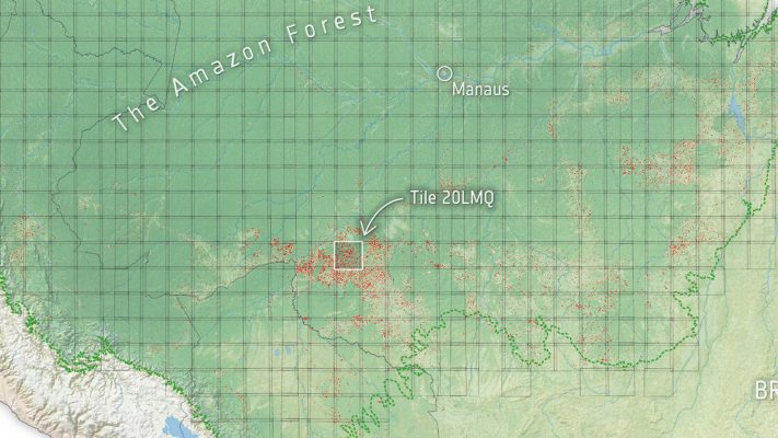
Prime company: DLR – GERMAN AEROSPACE CENTER (DE)The main objective of the RepreSent project is to capitalize on the potential of artificial intelligence (AI) and Earth observation (EO) by exploiting the non-supervised learning paradigms. In this context, it is essential to come up with non-supervised learning-based solutions for impactful use cases that use unlabeled EO data. The project started on April 1st, …
Zooming in on drought from space
Summer 2022 in Northern Italy has been extremely dry, as high resolution (1 km) soil moisture maps based on Sentinel-1 show. This is particularly clear when comparing to a “normal” year such as 2020. Read the full story.
EO AFRICA RAngeland MONitoring for Africa using earth observation – RAMONA
Prime company: AARHUS UNIVERSITY (DK)RAMONA aims for developing an innovative monitoring system for rangeland ecosystems in Africa at the continental scale and at 10m resolution. It will exploit the full data record provided by the Sentinels (primarily Sentinel-1 SAR, Sentinel-2 multi-spectral supported with Sentinel-3 multi-spectral), taking advantage of the synergies offered by SAR and multi-spectral observations. The activity will …