Blockchain and Earth Observation – 2019
White paper defining the key potential focus areas for the adoption of blockchain in the EO community. Released in April 2019.
Blockchain technology is often referred to as having a revolutionary potential for transforming the future of global markets. The industry leaders and policymakers across different sectors of the economy, and in public policy, have launched many initiatives (including dedicated innovation hubs) to investigate the potential of blockchain for financial and non-financial applications. Areas of interest …
Being a mountainous country, with long fjords and steep valley sides, Norway is particularly susceptible to large rock avalanches. In the last 100 years, over 170 people have been killed by tsunamis in fjords caused by large rock avalanches. In each case, the rock avalanche was preceded by many years of slow movement, with acceleration …
The aim of the project is to develop a systematic retrieval of Sun Brightness Temperature in L-Band as measured by the SMOS Mission and analyse its correlation with measurements of solar flares currently used in Space Weather, as GOES X-ray flux. The analysis will also focus on dedicated re-processing activities on selected dates with new …
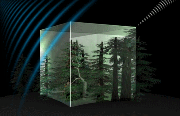
Characterization of forest biogeochemical cycles is of paramount importance in Earth system science to understand contemporaneous dynamics and for expanding global land models in order to predict future trends of vegetation and climate. Thanks to the increasing amount of spaceborne observations of land and ocean surfaces, data-driven models are revealing intriguing trends and mechanisms and …
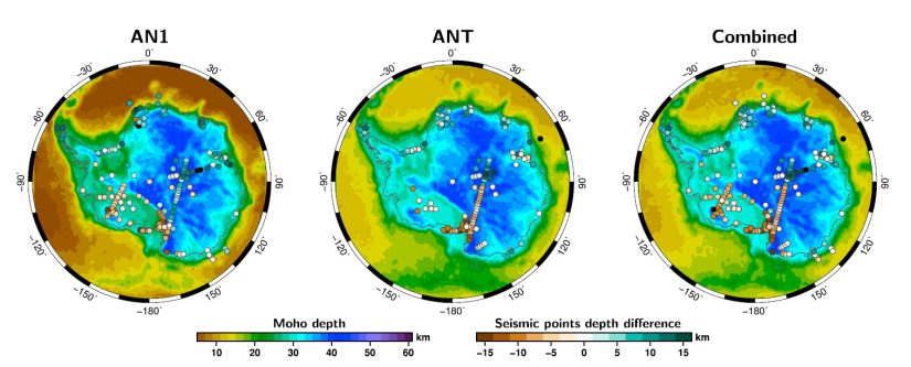
This project analyses the extent to which tectonic processes at plate boundaries give rise to changes that can be detected as variations in gravitational acceleration. The requirements for sensitivity are now being fed into preparatory studies for future gravity measurement missions.
South America hosts the Amazon rain forest, the largest source of natural hydrocarbons (HC) emitted into the atmosphere. However, the forest undergoes continuous pressure due to increasing needs for pasture and agricultural land. Next to this, large urban centers of South America face acute air quality problems. In this tense situation, it is important to …
The STREAM Project (SaTellite based Runoff Evaluation And Mapping), led by CNR-IRPI with the participation of the Institute of Geodesy (GIS) at University of Stuttgart, aimed at developing innovative methods able to maximize the recovery of information on runoff contained in current satellite observations of climatic and environmental variables (i.e., precipitation, soil moisture, terrestrial water …
This project aims to study the potential benefit of incorporating satellite-derived Sea Surface Salinity (SSS) measurements into oceanographic and environmental applications within the Baltic Sea. For such purpose, a team led by ARGANS Ltd (UK) with participation of Barcelona Expert Centre (BEC / ICM-CSIC, Spain) and the Finnish Meteorological Institute (FMI, Finland) will develop an …
Since the beginning of the industrial revolution humans have released approximately 500 billion metric tons of carbon into the atmosphere from burning fossil fuels, cement production and land-use changes. About 30% of this carbon dioxide (CO2) has been taken up by the oceans, largely by the dissolution of this CO2 into seawater and subsequent reactions …