EO AFRICA Online Course: Cloud Computing and algorithms for EO analyses
November 11, 2024 @ 08:00 - December 2, 2024 @ 17:00 UTC+2
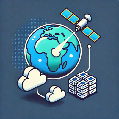
This course introduces participants to Cloud Computing and its usage for Earth Observation (EO) data analyses. It starts with big geospatial data concepts and extends to Cloud Computing as one of the solutions for solving the problems of big EO data. The EOAFRICA Facility Innovation Lab will be introduced as an example of a cloud …