


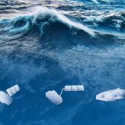
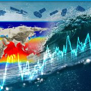
Ocean insights: satellites and science afloat
21 May 2025
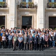
The One Ocean Expedition (2025–2026) has embarked on a global voyage aboard the Norwegian tall ship […]
by THEME (ocean, land, atmosphere, cryosphere), by TECHNIQUE and MULTI-THEMATIC SUMMER SCHOOLS
Videos, presentations and practical materials
The course materials, presentations, and lecture recordings from the 12th Advanced ESA course on Land Remote Sensing.
Theory and practical material

Theory and practical material
Theory and practicals material

Theory and practical materials
Link to training materials
Theory and practicals material
Theory and practical materials
Theory and practicals material
Theory and practicals material
Theory and practicals material

Theory and practicals material
Videos and materials from the course lessons
Link to training materials in English and Spanish
Videos and materials from the course lessons
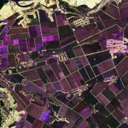
This 7th Advanced training course in SAR Polarimetry covered SAR, PolSAR, PolInSAR, and TomoSAR with both theoretical lectures and hands-on practicals using the ESA/NASA MAAP platform.

Link to training materials
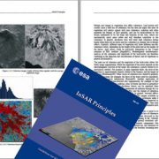
A text book to introduce radar interferometry to remote sensing specialists
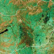
Mapping Crops and their Biophysical Characteristics with Polarimetric SAR and Optical Remote Sensing
Link to training materials in English and Spanish
A tool for self-education in the field of Polarimetric SAR data analysis and a comprehensive suite of functions for the scientific exploitation of fully and partially polarimetric data sets
Version: 6.0
Software for processing Sentinel data
Version: 12.0.0
Released on: 08/05/2025
The specific objectives of the advanced training courses are:
Participation
As advanced training courses, they are targeted to the European, ESA member state and Canadian research and development community, in particular post-doc researchers as well as masters and PhD students.