Description
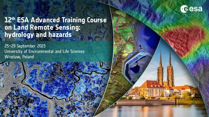
This post contains educational materials from the event 12th Advanced Training Course on Land Remote Sensing held in Wrocław, Poland, September 25-29, 2023.
Access specific videos (click on ), presentation slides (click on ), and exercise data (click on ) from the sessions here below, or download all the theory slides, practical slides and datasets from the link on the left side.
Any video recordings for this event are published here: ESA EO Land Training Course 2023 – YouTube
For the practicals, please download the full zip file on the right to get all files from the course including all the presentations, and all the data, notebooks and the environment config file for the practicals (5.5 GB). If you click the links listed below, you only download the notebooks.
Introduction and satellite data:
- Welcome Speech (theory) (3 MB)
- Space related activities in Poland, K. Sośnica (theory) (13 MB)
- Earth Observation activities in Poland, J. Orlińska (theory) (7 MB)
- ESA Science for Society Programme, E. Volden (theory)
- Sentinel-1, -2 and -3, LSTM, CHIMES, ROSE-L and FLEX mission status, ESA (theory)
- Data Access: Copernicus Data Space Ecosystem & Third Party Missions, J. Bojanowski & M. Fitrzyk (theory)
Water Level and Hazards:
- Introduction to Optical RS for Water and Hazards, F. Ramoino (theory) (8 MB)
- Introduction to SAR RS for Water and Hazards, M. Ilieva (theory) (11 MB)
- Water level change detection, T. Niedzielski (theory) (17 MB)
- Water level monitoring with altimetry, M. Halicki (practical) (1 MB)
- Water Extent, F. Ramoino (practical) (5 GB, please download the full file-set using the button on the left)
- DTE Hydrology and landslide risk, J. Dari (theory) (11 MB)
- Hazards: landslide mapping, T. Oppikofer (theory) (6 MB)
- Hazards: landslides, K. Pawluszek (practical) (4 MB)
- Hazards: floods, M. Chini (theory) (11 MB)
- Hazards: floods, M. Chini (practical) (26 MB)
Soil Moisture and Drought:
- Soil Moisture (Passive Microwave Radiometers, Scatterometers and SAR), B. Raml (theory) (12 MB)
- Drought, W. Dorigo (theory) (15 MB)
- Drought, P. Stradiotti (practical) (320 MB, please download the full file-set using the button on the left)
Water Quality, Irrigation Mapping, and Evapotranspiration:
- Land surface temperature and Evapotranspiration, R. Guzinski (theory) (9 MB)
- Irrigation mapping, detection, and quantification, J. Dari (theory) (18 MB)
- Irrigation mapping, detection, and quantification, J. Dari (practical) (23 MB)
- Water Quality, A. B. Ruescas (theory) (31 MB)
To see the posters made and used by the participants, please click here to download them (57 MB).
