A dedicated service for Ground Control Points and orthorectification
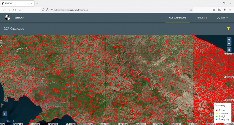
Precise geocoding/orthorectification/co-registration of EO images are pre-requisites for most further data use and applications. These operations require precise, high-quality Ground Control Points (GCPs). The Sentinel for 3D Ground Control Point (Sen3GCP) project, funded via the EO science for society Permanently Open Call mechanism, has been developing a GCPs hub, a dedicated service with several functionalities. …

