Tag: permanently open call
SatHound: Multi-object detection solution based on artificial intelligence for non-expert EO users
Prime company: THALES ALENIA SPACE ESPANA (ES)SatHound is a solution to allow non-technical users configuring and executing multi-object detection processes over satellite images, based on deep learning technologies providing the following features: Two modes of operation in a clean and powerful user interface with Web-GIS capabilities: The training mode is used for teaching the system how to recognize new objects or …
Water detection and monitoring in Sub-Saharan Africa made easy with QuantEO
The movie above is demonstrating how the QuantEO service may be used to detect water over time in Sub Saharan Africa from Senegal to Ethiopia. This is a sample application of the service, developed by Pixstart within an Open Call project, which allows to produce classified Sentinel-2 images on demand and near real time …
SUMO4RAIL
Prime company: GAF AG (DE)SUMO4Rail aims at a concise evaluation of the German ground motion service (Boden-Bewegungs Dienst – BBD) deformation products with dedicated consideration of the requirements of the Eisenbahn-Bundesamt (German Federal Railway Authority, Germany – EBA) including the valorization of these deformation products for the EBAs monitoring and decision support system. This include: Performing post-processing of BBD …
SAR4Wildfire
Prime company: KUNGLIGA TEKNISKA HÖGSKOLAN (SE)The objective of tge SAR4Wildfire project is to develop a novel and automatic method, using Sentinel-1 SAR time series and a deep learning framework, for near real-time wildfire progression monitoring and burn severity mapping in preselected wildfire sites in Sweden and British Columbia, Canada. Whenever available, Sentinel-2 MSI data will be incorporated in the framework …
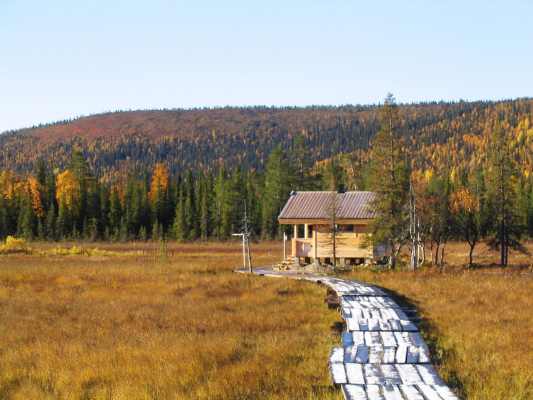
Methane emissions from the Arctic and boreal regions estimated with satellites help
Methane continues to increase in our atmosphere, and now researchers want to quantify the role of high Northern latitudes to this increase. Earth-observing satellites open the window to this remote, rapidly changing environment. Carbon cycle in the Arctic and boreal regions links strongly to the evolving cryosphere – ice, snow and frost. Especially natural methane …
Flexible ONBoard Data Analysis
Prime company: Science [&] Technology Norway (NO)The amount of data coming from imaging sensors increases steadily and a modern imaging sensor creates frames of several megapixels at a high frame acquisition rate. These imaging sensors with their large data output are mounted on spaceborne platforms, but the downlink capability of these spaceborne platforms, especially for small platforms, has not been increasing …
POINTOUT (Automatic Target Detection in Planet Imagery)
Prime company: STARLAB BARCELONA SL (ES)Traditional empirical and analytical Earth Observation (EO) algorithms retrieving physical parameters are getting to a fundamental change where learning algorithms without any prior background will be able to set themselves through the ingestion of Inputs/Outputs training datasets. Nowadays, Deep Learning (DL) networks among many other Machine Learning (ML) techniques are accurate enough, and computation technology …
EARTHSIGNATURE_AI
Prime company: CS SYSTEMES D’INFORMATION (FR)Monitoring of cropland has been critical for several national and international programmes (e.g., Sustainable Development Goals – #2 Zero Hunger, European Common Agriculture Policy). Furthermore, early identification of crops is becoming more stringent in the context of climate change that can influence severely crop yields in some parts of the world. Given the size of …