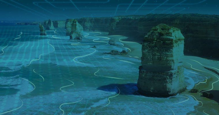
Enhanced Satellite Derived Bathymetry (SDB) with Sentinel-2
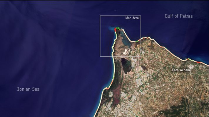
Thanks to the work performed within the Sentinel coastal charting worldwide project, the effectiveness of Sentinel-2 data for bathymetry mapping has been proven. Read the full story.
Infrastructures refer to the fundamental facilities and systems serving a country, city, or other area, including the services and facilities necessary for its economy to function e.g. public and private physical assets such as roads, bridges, railways, harbors, pipelines, airports, tunnels, etc. In order to insure their proper functioning, infrastructures together with their close neighborhood …
This activity is part of the EO (Earth Observation) Exploitation Platforms element of ESA’s Earth Observation Envelope Programme (EOEP-5) aiming to establish regional information services for Black Sea Region in the agriculture and forestry domains. It is intended to develop a suite of service cases demonstrating the monitoring services to CAP paying agencies, precision agriculture, …
ESA’s Sentinels for Evapotranspiration project, or Sen-ET for short, is exploiting machine learning techniques to combine Sentinel-2 and Sentinel-3 data for a 20m daily evapotranspiration monitoring in agricultural fields. Read the full story.
Wetlands worldwide are vanishing at an alarming rate. Read how Earth Observation helps to quantify and describe such changes as well as identify their causes in the article published on the occasion of recent World Wetlands Day.
“Exploring New Frontiers” is the title of 2019 special event featuring both the GRSG (Geological Remote Sensing Group) 30th anniversary and Annual Conference, looking at past and future geologic remote sensing, especially focusing on both longwave infrared and radar / InSAR applications. A Special Geological Society Publication will be issued for the occasion. Call for abstracts …
The first ever Sargassum International Conference is taking place on October 24 to 26 at the World Trade Center Complex in Jarry, City of Baie-Mahault, Guadeloupe. This is a conference and expo where over 50 entities, including delegations from Caribbean countries, multilateral organizations and companies exploring a variety of technological approaches to sargassum seaweed monitoring, …
The active fire detection capability of the SLST sensor on board of the Copernicus constellation of Sentinel 3A and Sentinel 3B is being exploited by the European Space Agency to derive systematic consistent counting of fires worldwide. The prototype product and algorithm have been presented at the Remote sensing of forest fire EARSeL conference in …