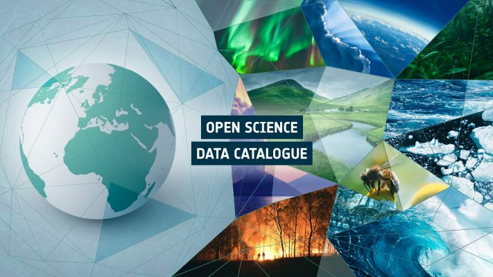
Network of Resources (NoR)
The Network of Resources aims to stimulate the uptake of platform services by scientific and commercial users. Access the platform and find out more about sponsorship.
TOP is a web-based platform offering users from the atmospheric sciences domain a Virtual Research Environment (VRE) to exploit Copernicus atmospheric and climate data products, such as COPERNICUS Sentinel-5 Precursor data and CAMS products. Deployed on the MUNDI DIAS, it is the first operational platform implementing the data triangle (EO, model and in-situ data) and …
The Earth System Data Lab is meant to offer a service to Earth System scientists: the provision of a versatile and simple-to-use online laboratory, i.e. infrastructure and tools, to analyse the various data sets in the cube. With this at hand, users may tackle a great variety of questions and come up with innovative applications. …
The Eduspace website aims to provide secondary school students and teachers with a learning and teaching tool. It is meant to be an entry point for space image data, and, in particular, to a widespread visibility of Earth observation applications for education and training. The Eduspace website encourages teachers to use Earth observation data in …
An online environment has been developed in the last few years for oceanographers to discover the existence of all available and co-located EO and related model/in-situ datasets and to handle them jointly in a convenient, flexible and intuitive way. The current version includes more than 350 datasets and is mostly focused on the Agulhas region. …
One-stop-shop for EO – you can find all important EO and derived data products at one place Analyse an event or phenomena from different perspectives Provision of multiple data sources Compare and correlate several variables at the same time Customize your data pipeline Try it out for free Kick-start your Earth Observation Application!
The P-TEP provides a complete working environment where users can access algorithms and data remotely, providing computing resources and tools that they might not otherwise have, avoiding the need to download and manage large volumes of data. This new approach removes the need to transfer large Earth Observation data sets around the world, while increasing the analytical power available to …
Water quality and access is essential for socio-economic development and for maintaining healthy ecosystems. Properly managed water resources are a critical component of growth, poverty reduction and equity. The Thematic Exploitation Platform (TEP) for Hydrology is a heterogeneous community of scientific users, river basin organisations and service providers. The aim of this community is to exchange data, …
The G-TEP platform is based upon virtualisation & federation of satellite EO data and methods with the aim to provide innovative responses to the needs of the geohazards community. It provides on-demand and systematic processing services for specific user community needs through advanced services available for both Optical & SAR data, connecting to massive compute power on multi-tenant Cloud Computing resources, to address the challenges …
The TEP Urban platform offers the possibility to define and conduct on-demand processing and production of thematic content based on multi-mission remote sensing imagery (in particular ESA missions including the Sentinel suite and Landsat imagery) and additional data sources (e.g., cadastral data, statistics, socio-economic data). The additional data might either be publicly available on the platform or individually uploaded …