
When it comes to climate change, the land surfaces are where the vast majority of impacts happen. The task of monitoring those across the globe is formidable and must necessarily rely on satellites – at a significant cost: the measurements are only indirect and require comprehensive physical understanding.
ESA’s Carbon Cluster projects LCC and TCCAS created the comprehensive modelling system D&B, offering the research community the possibility to explore how satellite data can be better exploited to help us document climate and other impacts on our lands.
The D&B model
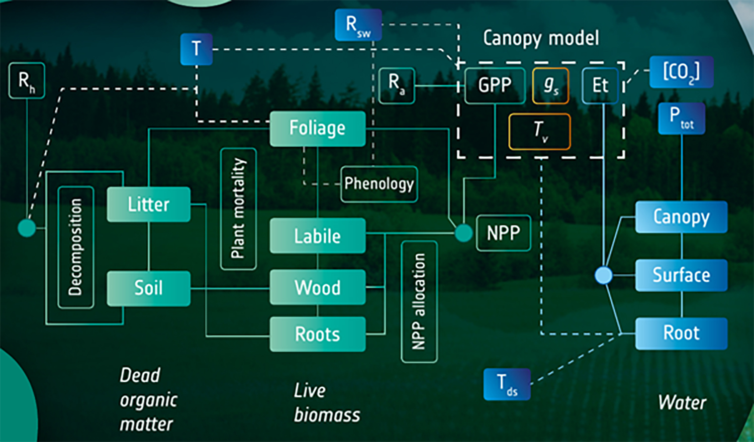
D&B v1.0 is a unified land-surface vegetation model that tightly couples carbon and water cycles with multiple satellite data streams. It merges the strengths of DALEC (Data Assimilation Linked Ecosystem Carbon – for ecosystem carbon cycling) and BETHY (Biosphere Energy-Transfer HYdrology – for photosynthesis, hydrology and energy fluxes).
An article on the design and validation of D&B has recently been published in the journal Geoscientific Model Development. The D&B modelling system includes so-called “observation operators”, which allow users to link the D&B model directly to data streams provided by satellite monitoring systems. This not only saves researchers’ time for interpreting data and model output but also enables automatic model improvement through data assimilation – a technique that has been successfully applied in numerical weather forecasting. D&B uses data streams related to different aspects of the terrestrial carbon, water, and energy cycles. These are solar-induced fluorescence (SIF) and fraction of absorbed photosynthetically active radiation (FAPAR) from optical sensors, and vegetation optical depth (VOD) and surface layer soil moisture from passive microwave sensors.
To combine D&B and observations into a consistent picture of the terrestrial carbon, water and energy cycles, the model is embedded into the Terrestrial Carbon Community Assimilation System (TCCAS). TCCAS is based on a variational data assimilation approach that adjusts a control vector to best match the observational data streams. It operates using efficient tangent and adjoint code of the D&B model and the observation operators. The control vector consists of a combination of initial pool sizes and process parameters in the core model and in the observation operators.
The D&B system has been evaluated at both point and regional scales. It has been designed to be computationally efficient and modular and can be operated at high spatial resolution.
Learning about TCCAS and D&B
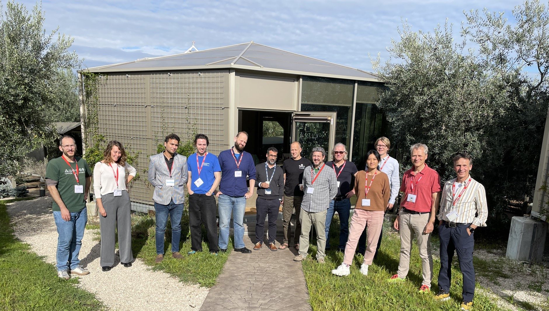
A first user training event was conducted in October 2024 in ESRIN, showcasing TCCAS and D&B’s well documented open source developments.
The next training event will take place at the upcoming Living Planet Symposium (LPS25) in Vienna. A dedicated Terrestrial Carbon Cycle Assimilation System session will be held on Wednesday 25, in two parts, starting at 14:00, in Room 0.14. The session will provide a combination of presentations and hands-on exercises to participants with an interest in applying the systems for their research or their teaching.
Knorr, Williams, et al. “A comprehensive land-surface vegetation model for multi-stream data assimilation, D&B v1.0.” Geoscientific Model Development, vol. 18, no. 7, 2025, pp. 2137–2159. https://doi.org/10.5194/gmd-18-2137-2025