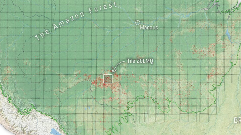
Billions of radar images over the entire Amazon basin have been converted into a data cube and processed to help a dynamic detection of forest loss.
This work, performed within the Sentinel-1 for Science: Amazonas project, uses a space-time data cube design (also known as StatCubes), where statistical information relevant to identify deforestation is extracted at each point in the radar time-series.
From January 2017 to November 2021, forest loss of over 5.2 million hectares has been detected, which is roughly the size of Costa Rica.
The data and code developed in the frame of the activity are openly provided to the community on the project webpage. In the last phase of the project a key focus will be on enhancing this Open Science approach, aiming for reproducibility, long-term maintenance and evolution of the results achieved in the Sentinel-1 for Science: Amazonas Project.
Read the full story.

