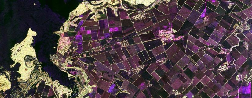
Second Joint Training Course on Atmospheric Composition
The educational materials from the Second Joint Training Course on Atmospheric Composition held online from 16-20 November 2020 can be accessed from the link on the left menu.
Welcome to the online course Land in Focus. Watch the trailer here. This MOOC is a series of online learning materials that will give you insights on the potential of remote sensing technologies for applications over land surfaces. The courses are free, and only require registration. The first content of the series is the core content, …
In this course we will introduce you to the role of satellite Earth observation (EO) technology and the data it produces in monitoring the Earth’s Cryosphere. The Cryosphere is the portion of the Earth’s surface where water exists in solid form as glaciers, sea ice, ice caps, and areas of snow. The first week will …
This is a short MOOC from ESA which consists of a series of interviews with leading experts across Earth Observation and related technologies. This MOOC also acts as an additional section for the ‘Earth Observation from Space: The Optical View’ MOOC. The explosion in Earth Observation (EO) data from the Sentinel programme, a new generation of …
Made up of layers of compressed snow from over the last 100,000 years, the vast Greenland ice sheet acts as both a valuable record of our past climate and a bellwether for future climate change. This online course highlights how the Greenland ice sheet is monitored from space and the ground. You’ll look at the …
Satellite Earth Observation technology provides a powerful and compelling insight into climate change which can help to underpin climate policy, scientific research and public engagement. But how does this technology work, and how can it achieve the essential detail and comprehensive worldwide view that we need? Join Lead Educator Professor Martin Wooster and leading climate …
This course will provide an introduction to optical Earth observation – monitoring our planet from satellites, using photography, imaging in various wavelengths, lidar and other optical sensing technologies. You’ll find out how satellite data is acquired and used, the range of data types available, and the terminology and techniques involved. The course will also provide …
Echoes in Space is suitable for anyone interested in an introduction to Radar images or who are looking to deepen into the topic. It covers the history and basics of Radar technology and Radar Remote Sensing from space, and gives a unique hands-on experience in a variety of application scenarios. The course is interactive, and …
A user consultation meeting took place on 11-12 December 2018 in order to: review the main requirements from geo-information in the Mediterranean region from science to information services; review the main activities, projects and initiatives taking place in the region where EO may contribute; assess the potential of the increasing observation capacity offered by satellites …
Educational materials from the Trans-Atlantic Training (TAT-8) held online from 1-4 June 2021. Download specific blocks here below or access the full theory and practicals from the link on the left side window. Video recordings from the sessions can be accessed from the official course website. Day 1 – Tuesday 1 June 2021 Antonios Mouratidis …