A series of online learning materials suitable for anybody interested in the potential of remote sensing technologies for applications over land surfaces.
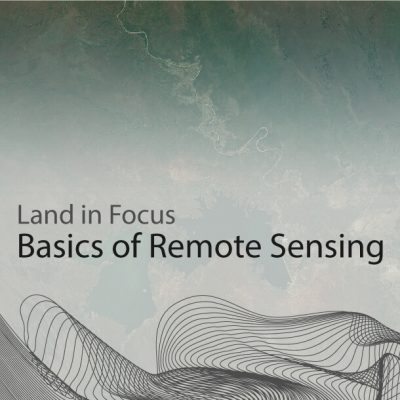
Welcome to the online course Land in Focus.
This MOOC is a series of online learning materials that will give you insights on the potential of remote sensing technologies for applications over land surfaces. The courses are free, and only require registration.
The first content of the series is the core content, called Basics of Remote Sensing. It was officially launched on 4th October 2021 and provides you with the fundamentals of remote sensing technology as well as the tools needed to handle real-life scenarios. In particular, by the end of this core course you will be able to:
The core course will enable you to follow the subsequent materials of the MOOC: practical courses based on real-life case studies, where you can learn to apply your theoretical knowledge to real-life scenarios, for a variety of topics.
Note that you do not have to have completed any of the previous or other courses to follow any of these, and they can therefore be skipped or done in any order desired.