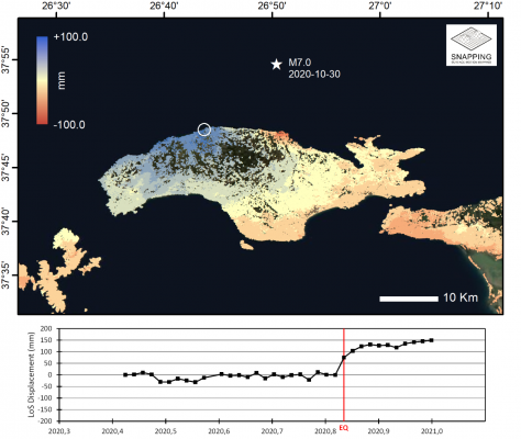
A new advanced InSAR processing service called SNAPPING (Surface motioN mAPPING) has just been deployed in the Geohazard Exploitation Platform (GEP).
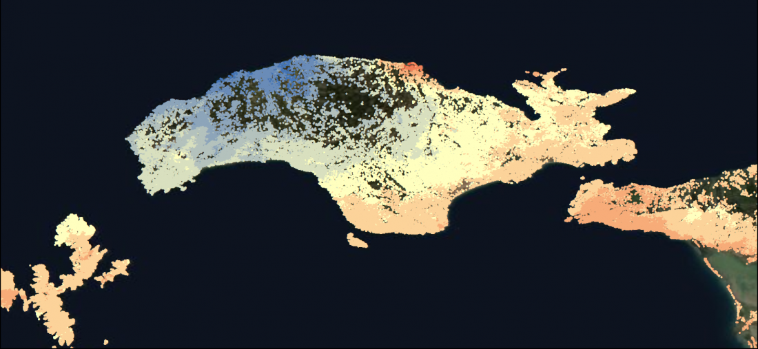
The potential of the service is illustrated in the context of the Samos (Greece) M7.0 seismic event of 30 October 2020.

Based on the open source SNAP toolbox and StaMPS software, the SNAPPING service has been implemented and integrated on-line by European experts from the Aristotle University of Thessaloniki (AUTh, GR) and University of Jaen (UJaen, ES), with the support of Terradue (IT).
It is using radar data from the Copernicus Sentinel-1 mission and it is based on the Persistent Scatters Interferometry (PSI) technique that combines large data collections to retrieve precise terrain motion measurements. Following successful testing and performance optimization it is now in operations in view of making it available to GEP users.
SNAPPING provides measurements of average terrain motion at 100m resolution alongside with displacement time series. This capability is enhancing the portfolio of services provided by GEP. As part of the Thematic Exploitation Platform initiative of ESA, the GEP is a cloud platform with an open architecture and e-collaboration functions. It allows users to run readily available services as well as to integrate a new EO based processing chain. GEP services are currently used by to 82 organisations across 32 countries in Europe and in the rest of the world.

