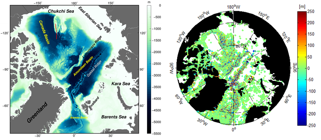
7 years of CryoSat-2, jointly with other satellite altimetry data allowed scientists from DTU Space to develop an altimetric gravity model and exploit it to derive the first ever Arctic bathymetry map predicted from marine gravity. This has been combined with the existing IBCAO bathymetry map (derived from sparse ship soundings) to create a new and improved hybrid bathymetry map of the Arctic Ocean.
Read the full story on the ESA EO portal or the paper.
Featured image: Left: existing bathymetry map of the Arctic Ocean (red line: ship sounding survey). Right: difference between the predicted bathymetry and existing IBCAO bathymetry map.