GeoVille (AT)
EO Clinic support requested by: Deutsche Gesellschaft für Internationale Zusammenarbeit (GIZ) Regional Economic Development Program IV (RED IV), Cambodia
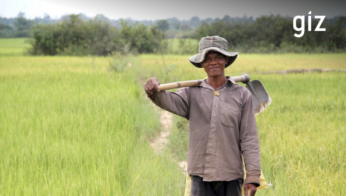
Requesting activity: Identification of surface water resources for the mitigation of climate change risks in the agricultural sector of north-western Cambodia
Requesting activity type: Grant
EO Clinic relevant Thematic Groups: TG1 (Agriculture), TG2 (Climate Change), TG4 (Disaster Risk Management), TG10 (Water Resources Management)
Work Order number: EOC0010
Work Order status: Completed
Work Order start: 2020 Jul 28
Work Order end: 2020 Sep 21
Cambodia is heavily affected by climate change. The rainy season is becoming more irregular and rainfall is often delayed but more frequent. In the Tonle Sap catchment area there have been repeated severe floods in recent years, but at the same time a growing number of droughts (see also the GIZ study Transboundary Water Resource Management in the Lower Mekong Basin – Joint Project Flood and Drought Thailand and Cambodia Sub Basins 9T/9C, August 2018). The droughts, which have now become very severe, directly threaten the existence of thousands of small farmers in the western and northern provinces of Cambodia.
The availability of water is of decisive importance for further economic development of north-western Cambodia. It is essential for the fight against rural poverty and malnutrition, since most of the rural population lives from agriculture and the poverty rate in this region is above country average.
Every year, marginalised groups of the population which are supported by the GIZ program Regional Economic Development IV (RED IV), are acutely threatened by crop failures to fall (back) below the poverty line. Many households in northwest Cambodia earn their living by growing rice, cassava or vegetables, all agricultural products that depend on sufficient and regular rainfall. The above-mentioned study comes to the conclusion that in the coming years, both floods and droughts can be expected to increase, while at the same time the pressure on water resources increases.
RED IV is an extensive program with SDC (Swiss Agency for Development and Cooperation) co-financing working on the promotion of agricultural value chains in the north-western part of Cambodia. Water management is an important issue for the program, which has been working since October 2019 on an analysis of the local availability of surface water in the north-western provinces of Cambodia.
The present EO Clinic support will help define options for the construction of water infrastructure and recommendations for the improvement of water management, in order to maintain and secure the water resources of the rural population.
There is currently no systematic water management in Cambodia. Some of the reservoirs date back to the 1970s, but they are often in poor condition and completely inadequate in terms of volume and integration into local infrastructures. Local authorities on district and communal level have no comprehensive overview of the existing water infrastructure and the availability of surface water resources (natural or man-made). There is no connection between the development of agricultural clusters and a systematic development of water infrastructure. Local authorities have insufficient capacities and knowledge to develop a water management strategy.
Data availability in Cambodia is a challenge, especially when it comes to fine scale. Cambodia has at this point no official data of the nature required by RED IV. Mapping the extent of surface freshwater (streams, rivers, lakes, wetlands, reservoirs, irrigation canals, creeks) at regional scale and monitoring its dynamics at regular and frequent time intervals is sought after. However, currently available data from Cambodian authorities are either out of date or not accurate enough. Presently, GIZ and its partners have some familiarity with products such as the USGS Landsat Dynamic Surface Water Extent. The level of detail of these products is however often considered insufficient.