- This event has passed.
URBIS24
September 16, 2024 - September 18, 2024
ESA-ESRIN

Background
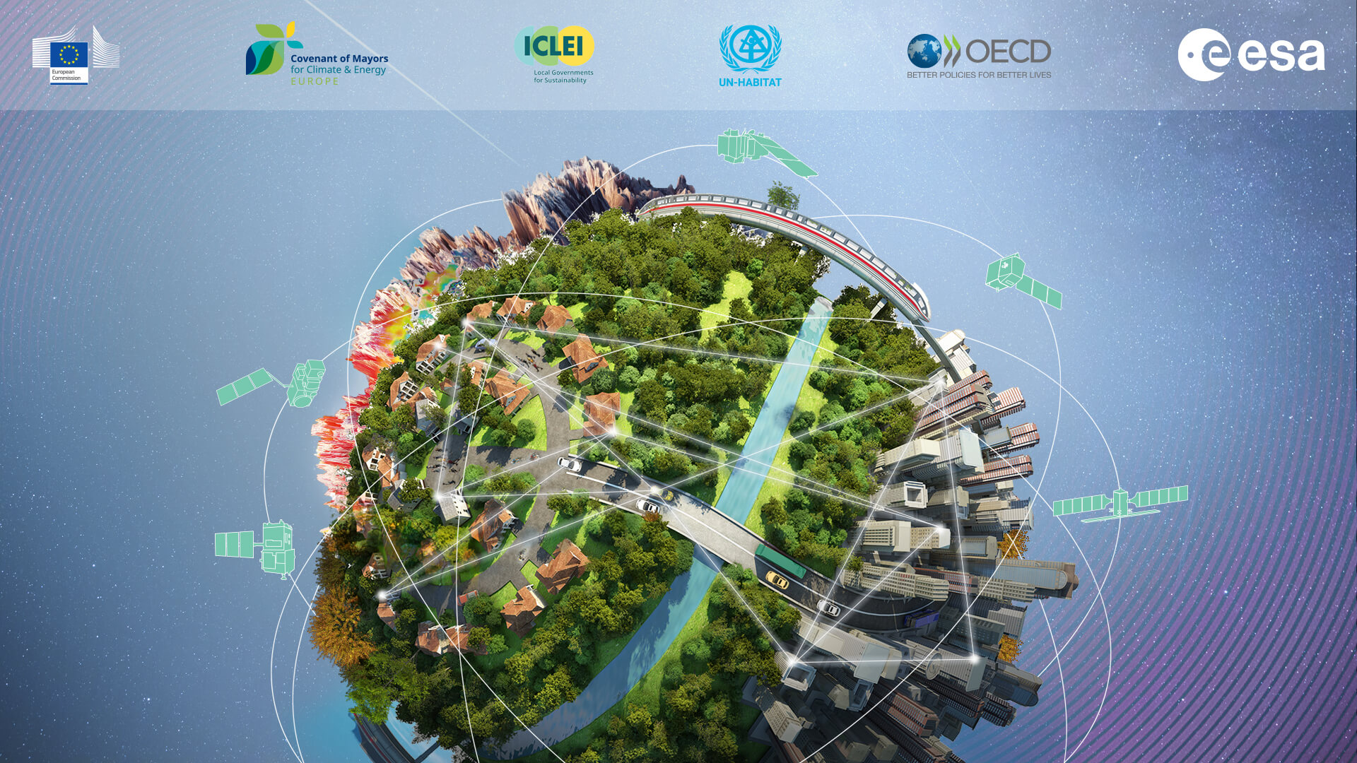
The URBIS24 Workshop will gather a diverse community of urban policymakers, Earth Observation researchers, service providers and various end-users. Taking place at ESA/ESRIN in Frascati, Italy, during September 16–18, 2024, this event will offer an insightful exploration of urban challenges and innovative EO-integrated solutions. URBIS24 will consist of presentations from invited speakers addressing key urban challenges and insights on latest results from experts leveraging Earth Observation for urban problem-solving and monitoring. The workshop is designed to be dynamic and participatory, featuring interactive sessions to identify the pressing needs and priorities of urban experts and decision-makers. Through collaborative discussions, the goal is to map existing innovative methodologies and technological solutions while exploring new applications for further development. The workshop will also include a poster session, providing a platform for participants to showcase their projects and use cases, fostering networking and exchange of ideas. Join us at URBIS24 to stay informed about the latest developments in urban monitoring and innovation from space and contribute to shaping the next steps.
Objectives
- Gather participants from different sectors, including urban experts, policy makers, remote sensing experts, academia and NGOs, in sharing knowledge, expertise and opportunities of using EO in addressing urban challenges, hence fostering new collaborations among participants;
- Identify challenges and priorities of urban experts and decision-makers in the context of urban planning, urban adaptation, increasing livability, which can strongly benefit from using up-to-date EO-integrated solutions;
- Explore up to date results from Remote Sensing scientists and experts and delineate new applications and R&D activities.
Topics
Methodology/Data
Remote sensing methods for characterising urban areas
(multispectral, hyperspectral, SAR/InSAR, TIR, LiDAR)
Detailed LULC classification and change detection
Multi-sensor and multi-scale synergies
Multi-temporal approaches
Global urban layers
Cost-effective use of commercial data
Downscaling (e.g., super-resolution)
AI for urban
3D/4D mapping
Night-lights applications
UAVs/drones, aerial platforms
Capacity building, education, citizen science,
crowdsource data and tools for urban applications
Applications
EO integration in urban social science and policy
Urban planning and modelling of urban growth
Health, well-being and liveability
Urban ecology
Nature-based solutions
Urban energy infrastructure and renewables (demand, access, smart grids)
Urban climate (Urban Heat Islands, pollution/air quality)
Urban green and blue infrastructures
Transport, Infrastructure and Sustainable Mobility
Natural hazards, risk reduction and urban resilience
Urban subsidence
Informal settlements
Population distribution
Delineation of functional urban areas
For further information, please go to the main website at https://urbis24.esa.int/
