- This event has passed.
Mapping Crops and their Biophysical Characteristics with Polarimetric SAR and Optical Remote Sensing
April 12, 2022 - May 3, 2022

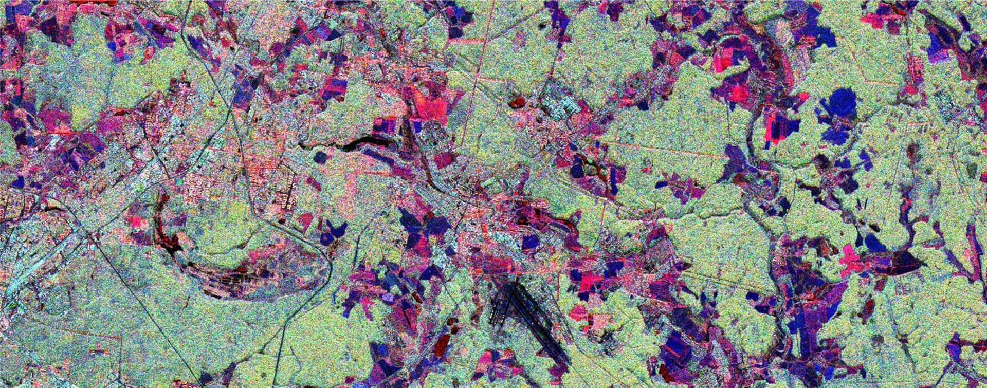
Mapping crop types and assessing their characteristics is critical for monitoring food production, enabling optimal use of the landscape, and contributing to agricultural policy. Remote sensing methods based on optical and/or microwave sensors have become an important means of extracting information related to crops. Optical data is related to the chemical properties of the vegetation, while radar data is related to vegetation structure and moisture. Radar can also image the Earth’s surface regardless of almost any type of weather condition.
This four-part, advanced training built on the previous intermediate webinar series and presented more advanced radar remote sensing techniques using polarimetry to extract crop structural information. It also presented Sen4Stat – an open source system demonstrating the potential of optical and SAR satellite Earth observations for monitoring and reporting of the SDG targets related to agriculture. Sen4Stat also combines Earth observation data with national statistical data sets and surveys to support National Statistical Offices in the uptake of satellite Earth observations for agricultural statistics.
This series focused on the use of dual polarization C-band SAR from Sentinel-1, fully polarimetric C-band SAR from the RADARSAT Constellation Mission (RCM), fully polarimetric L-band SAR from SAOCOM (SAtélite Argentino de Observación COn Microondas), and optical imagery from Sentinel-2 to map and monitor crop types and assess their biophysical characteristics. This series also covered the theory of SAR Polarimetry and included a practical exercise using the Sentinel Application Platform (SNAP) and Python code written in JupyterNotebooks, a web-based interactive development environment for scientific computing and machine learning.
This webinar series was a collaboration between NASA ARSET, Agriculture and Agri-Food Canada (AAFC), European Space Agency (ESA), United Nations Office for Outer Space Affairs (UNOOSA), University of Sterling, Université Catholique de Louvain (UCLouvain), and the CEOS Working Group on Capacity Building & Data Democracy (WGCapD).
This training was also available in Spanish.
OBJECTIVE:
By the end of this training attendees were able to:
- Explain the theory behind SAR Polarimetry, especially as related to crop characteristics
- Generate polarimetric parameters using open source imagery/software and perform a time series analysis of crop growth
- Identify how Sen4Stat can support National Statistical Offices in the uptake of satellite Earth observations for agricultural statistics
- Perform a time series analysis of crop types using Sentinel-2 derived LAI index
AUDIENCE:
This webinar series was intended for users of Earth Observation data interested in deepening their knowledge in the use of radar and optical remote sensing applications in the domain of agriculture for crop mapping and monitoring.
COURSE FORMAT:
- Four, 2.5-hour sessions
- Training sessions were held on Tuesdays from April 12 to May 3
- The morning session was presented in English: 16:00 – 18:30 CEST (10:00 AM – 12:30 PM EDT)
- The afternoon session was presented in Spanish: 19:00 – 21:30 CEST (13:00 – 15:30 PM EDT)
- Those who attended all 5 sessions and completed the homework were be awarded a certificate of attendance.
Access here below the full programme and the training materials of past webinars from the series (video recordings, theory presentations, instructions and datasets to repeat the exercises.). The materials are available both in English and in Spanish.
