
- This event has passed.
EO Africa F2F Training #4: Mapping and Performance Monitoring of Agroecosystems from Space
October 18, 2022 - October 22, 2022
The 4th F2F course of the EO AFRICA R&D Facility will take place in Kigali, Rwanda in close collaboration with the African Association of Remote Sensing of the Environment (AARSE) 2022.
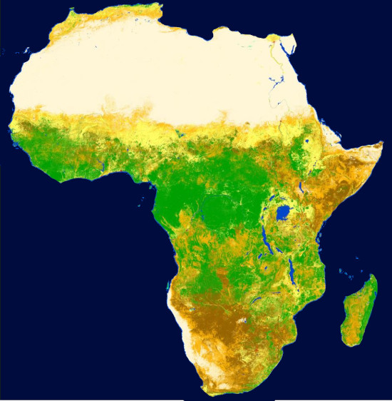
The course will provide participants with the necessary theoretical and practical knowledge for getting started on monitoring agroecosystems (croplands + rangelands) with satellite EO data. It will introduce the general concept of EO-based vegetation/drought monitoring, the distinct types of potentially useful EO data, relevant sensors, and derived data products, as well as different analysis techniques that can be employed to derive information from the satellite observations. The key dataset used for benchmark mapping and for change and performance monitoring as can be influenced by droughts, will be the 20 years low-resolution NDVI-images from Copernicus (CGLS). Methods will apply to agricultural areas, rangelands, and natural areas alike. An actual application for drought-insurance, that focuses on detecting the occurrence of extreme low NDVI-values, will be presented. Various techniques will be practiced by using Jupyter notebooks. In addition, participants will have the opportunity to apply knowledge gained on monitoring agroecosystems by completing two hands-on (1-day) practical exercises; one focused on estimating carrying capacity in rangelands and the second one on crop yield anomaly detection in the Cornbelt of Kenya.
It’s a 5-day course (6h per day), covering:
- Types of droughts – Droughts from a historical perspective.
- Time and Space – Setting the Scene.
- HyperTemporal-Mapping of Ecological Systems.
- Experiences gained when mapping the Masai Mara rangelands.
- Intros on “drought detection to support crop insurance models”.
- Logic behind the NDVI-based Micro-Insurance Scheme to address the peril “Drought”.
- Jupyter Notebook exercises.
- Integration of Copernicus dry matter productivity and land cover products to arrive at available forage, livestock requirements, and carrying capacity.
- Analysis of interannual changes in biophysical indicators and their standardized anomalies in relation to district-level crop yield estimates.
DEADLINE FOR APPLICATIONS: