
- This event has passed.
Agriculture Remote Sensing Webinar: Crop Mapping using Synthetic Aperture Radar (SAR) and Optical Remote Sensing
April 4, 2023 - April 11, 2023
Online
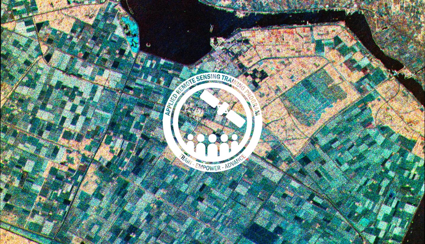
Monitoring crop growth is important for assessing food production, enabling optimal use of the landscape, and contributing to agricultural policy. Remote sensing methods based on optical and/or radar sensors have become an important means of extracting information related to crops.
Optical data is related to the chemical properties of the vegetation, while radar data is related to vegetation structure and moisture. Radar can also image the Earth’s surface regardless of almost any type of weather condition.
This three-part, advanced training built on previous ARSET agricultural trainings.
Here we presented more advanced radar remote sensing techniques using polarimetry and a canopy structure dynamic model to monitor crop growth. The training covered how to apply machine learning methods to classify crop type using a time series of Sentinel-1 & Sentinel-2 imagery.
This series included practical exercises using the Sentinel Application Platform (SNAP) and Python code written in Python Jupyter Notebooks, a web-based interactive development environment for scientific computing and machine learning.
This webinar series is a collaboration between NASA ARSET, Agriculture and Agri-Food Canada (AAFC), European Space Agency (ESA), University of Stirling, University of Ljubljana, and the CEOS Working Group on Capacity Building & Data Democracy (WGCapD).
By the end of this training attendees are able to:
- Monitor crop growth with polarimetric time series SAR data from Sentinel-1
- Examine crop growth using a canopy structure dynamic model and time series of Sentinel-1 imagery
- Classify crop type using a time series of radar and optical imagery (Sentinel-1 & Sentinel-2)
This webinar series was intended for local, regional, federal, and non-governmental organizations from agriculture and food security related agencies to use radar and optical remote sensing applications in the domain of agriculture for crop mapping and monitoring.
- April 4-11th, 2023
- Three, 2.5-hour sessions
- The morning session will be presented in English: 10:00 AM – 12:30 PM ET (16:00 – 18:30 CEST)
- The afternoon session will be presented in Spanish: 13:00 – 15:30 PM ET (19:00 – 21:30 CEST)
The sessions were:
- Part 1: Crop Classification with Time Series of Polarimetric SAR Data (Armando Marino)
- Part 2: Crop Classification with Time Series Optical and Radar Data (Krištof Oštir, Matej Račič)
- Part 3: Monitoring Crop Growth Through SAR-Derived Crop Structural Parameters (Heather McNairn, Emily Lindsay, Xianfeng Jiao)
For information on course training see the ARSET course page. Lecture recordings and materials are available here.
![]()
Note that the course is also available in Spanish.