VTT TECHNICAL RESEARCH CENTRE OF FINLAND LTD (FI)
The Assesscarbon project (Feb 2020 – Feb 2021) developed and demonstrated at a pre-operational level an approach for large area forest biomass and carbon modelling, combining ground reference data, Sentinel-2 imagery and primary production modelling.
The overall goal of the project was to develop a foundation for a novel approach to derive large area biomass and carbon pool and flux estimates and forecasting in a scalable fashion on an online platform. The project was coordinated by VTT Technical Research Centre of Finland and funded by ESA under the EO Science for Society Permanently Open Call funding mechanism.
The main input data for the project were Copernicus Sentinel-2 satellite data, forest plot measurements and climatic datasets. The Sentinel-2 mosaics was created by Terramonitor (Satellio Oy) using their novel image mosaicking approach. This image composite was used together with field sample plots provided by the Finnish Forest Centre to create forest variable estimation models. Finally, dynamic forest primary production variables were modelled using the forest structure variables and climatic data.
The forest structural variable models were based on the Probability software package developed by VTT. It contains three different parts, which together form a comprehensive package of classification/estimation tools combining field data with satellite imagery. The primary production modelling is based on the PREBAS models developed by the University of Helsinki. The models were further developed utilizing multi-temporal observations. The practical processing of the primary production estimates for the area of interest was carried out by Simosol Oy.
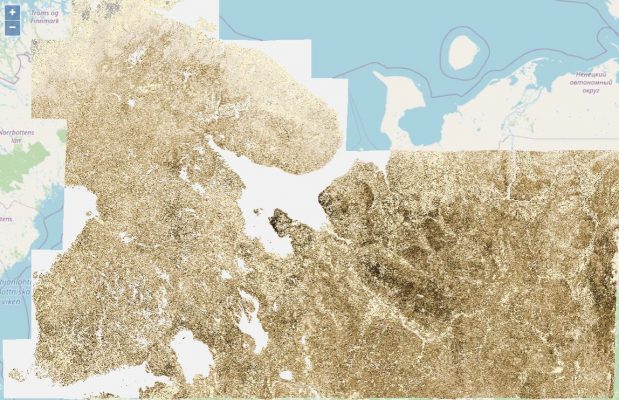
The demonstration was conducted on the Forestry TEP. Forest structural variable and primary production information were produced for a test area covering the entire Finland and the Russian boreal forests until the Ural mountains. All components of the project were implemented in a manner that enables scalable execution of the models in Forestry TEP environment. The chosen approach utilized the Sentinel-2 tiling structure as the building blocks. All software components were redeveloped to enable processing of a given number of Sentinel-2 tiles in a coordinated manner, in order to produce consistent results over large interest areas.

Data assimilation of forest status using Sentinel-2 data and a process-based model
Agricultural and Forest Meteorology (2025)
Data assimilation of forest status using Sentinel-2 data and a process-based model
Agricultural and Forest Meteorology (2025)