One of the most limiting factors in applying AI to EO is the complex and labour-intensive process of gathering and labelling EO data. This process is time-consuming and expensive, often requiring domain experts or in-situ verification to ensure accurate annotations.
The Earth Observation Training Data Lab (EOTDL), developed in the context of an EO Science for Society project, addresses these challenges by offering a new interactive data ecosystem designed to streamline AI development for EO.
The core function of EOTDL
EOTDL is a new platform designed to support the international data science community at the intersection of Earth observation (EO), machine learning (ML) and artificial intelligence (AI).
Researchers, developers, and data scientists active in the development and validation of EO machine learning models can get access to a curated repository of high-quality datasets, models, and various tools to help them develop their EO machine learning solutions and applications.
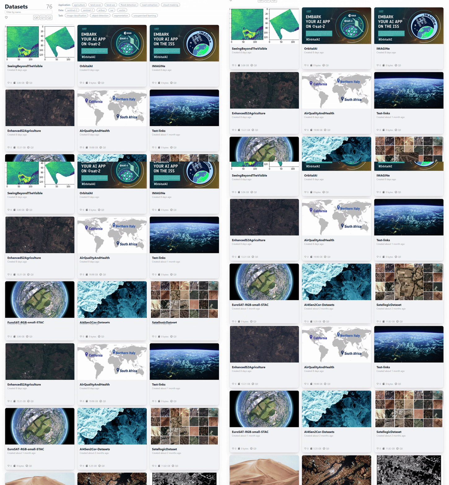
EOTDL currently offers access to more than 70 training datasets and several models, with more continuously being added. Users can directly access the datasets in the provided cloud workspace or stage them in other environments. The tools in the open-source ecosystem enable seamless integration with popular machine learning libraries such as PyTorch or TensorFlow, among many other features. Additionally, the standard integration of Spatio Temporal Asset Catalogue (STAC) metadata makes handling of datasets easy and interoperable with third party tools.
More than just a repository
EOTDL is intended to be more than a dataset repository. It’s a dynamic ecosystem where users can create, share, and refine their own datasets and models with a global community.
Need more computing power? Train your AI models in the cloud workspace, leveraging the power of multi-GPU machines. Want to annotate your data? Use the SCANEO labelling tool to visualise and label satellite data in a collaborative way and get assisted labelling capabilities.
These are just examples of the larger set of functionalities EOTDL offers.
Learn more and collaborate
Head toward the EOTDL portal to explore datasets, models and platform features, and stay updated on new developments via the dedicated LinkedIn profile.
For a practical walkthrough, EOTDL offers tutorials providing step-by-step guidance on using EOTDL’s functionalities.
To engage with the community, users can join the EOTDL Discord server to connect with the team and other users, ask questions, share feedback, and get involved in the platform’s evolution.
EOTDL is an open-source project, and its code is available in the GitHub repository. Contributions are welcome, and users can track progress and find instructions for contributing there.
By providing these tools and resources, EOTDL aims to accelerate the development of AI applications in Earth Observation by making training data more accessible and the process of creating and sharing datasets more streamlined.

