During the last few years, the Nouvelle-Aquitaine coast has been repeatedly hit by severe storms causing coastline retreat of several meters (from 10 to 40 meters in 2013-2014, from 5 to 13 meters in 2018). Modelled sea-level rise impact on the same coastline is projected to cause (see the Néo Terra 2019 and the AcclimaTerra 2018 reports) a retreat between 65 and 100 meters by 2050, in the Landes and Gironde areas.
Such projections give overall indications that only partially support the development of regional strategies to face the changes, and sometimes they even prove not to be reliable, as it happened after the 2013-2014 storms.
Availability of more detailed and regular (yearly and after major storms) overviews of the coastline position and other features (such as, for instance, dunes or cliffs topography, beach width or coastal bathymetry) would support public entities acting on the coastal areas in developing more flexible and sound approaches and strategies to managing coastal changes.
Such a need is not limited to the Nouvelle-Aquitaine 970 km long coastline, but characterises a roughly estimated 20% of global coastlines, expected to be heavily affected by erosion processes and sea-level rise.
This is the reason why Earth Observation satellites, that have been regularly monitoring the planet since 25 years (ERS-1, ERS-2, Envisat, SPOT and current Copernicus Sentinel missions), are an ideal data source.
The challenge though is developing adequate algorithms to achieve the necessary high precision in products. They should in particular exploit at best the enhanced potential of a combined use of Sentinel-1 and Sentinel-2.
In order to maximise R&D efforts and define algorithms that offer the best performance level in a wide variety of coastal areas (sand to rocks, high to low tides, etc.), two Coastal Erosion projects, carried out by two different consortia, have just started, funded by the EO science for society programme.
They will challenge each other on deriving the best possible algorithms on a number of test areas over 9 different countries overall.
The first project – Space for Shore – focusing on coasts in France, Portugal, Germany, Greece and Romania, is led by the French start-up I-Sea, while the second – Coastal Change from Space – led by British Argans, will focus on United Kingdom, Spain, Ireland and Canada.
A large number of user organizations (national governmental agencies, regional authorities, inter-municipal cooperation and municipalities, as well as natural site managers, research centres and coastal observatories) are fully involved in the project activities since the start, to make sure that products are designed and validated to offer the highest concrete benefits to the user community in the longer-term exploitation of products and possibly derived commercial services.
Stay tuned to check projects outputs and progress on eo4society website as well as on the consortia project websites (find links in Space for Shore and Coastal Change from Space sheets).
Read more about the Nouvelle-Aquitaine case in a web interview (in French).
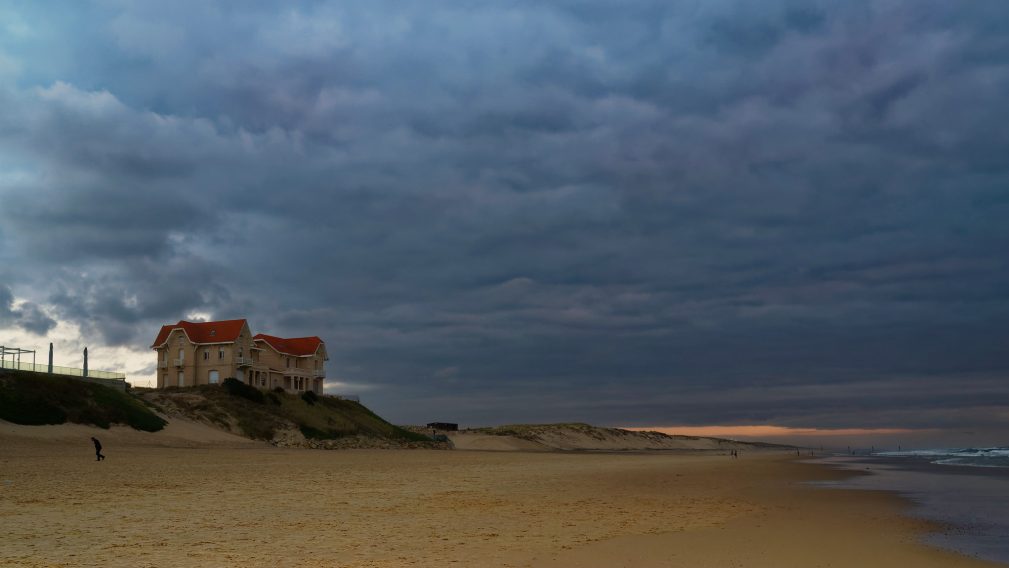
Featured image : Biscarrosse beach. Photo credit: Patrick Loste