Description
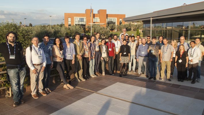
Educational materials from the IV ESA EARSEL CNR School: Remote Sensing for Forest Fires held in Rome, Italy, on 3-5 October 2019. Download specific blocks here below or access the full theory and practicals from the window left side link.
- Introduction to ESA EO Programme and to ESA CCI Programme in the context of Fire (S.Plummer/F.Sarti, ESA)
- ESA EO Data Access and Users Services (non Copernicus) (V.Amans, ESA)
- An Overview of remote sensing for Forest Fires (R.Lasaponara, CNR)
- Theory/Demo: Self Organized Maps (SOM) for Burned Areas and Fire Severity. Fire Emissions: Sentinel- based monitoring (R.Lasaponara / M.Danese, CNR)
- Demo: Machine Learning for Burnt Area Mapping (D.Stavrakoudis, Aristotle University of Thessaloniki)
- Theory: Reminders of SAR basics. Discussion on challenges of S1 for Fire applications (A.Pepe, CNR)
- Exercise: Burned area mapping with S1 (SNAP) (A.Castro, RSAC c/o ESRIN / A.Pepe, CNR)
- Theory: Satellite Time Series Analysis. Combined InSAR/SAR-Amplitude-based approaches for Change Detection Analyses (A.Pepe, CNR)
- Reminders of Theory and Exercise: Burned area mapping with S2 (SNAP) (T.Smejkalova, Copernicus Research and User Support Service – RUS Copernicus)
- Reminders of Theory and Exercise: Active fire mapping with S3 ( SNAP) (G.Karadimou, RUS Copernicus)
- Reminders of Theory and Exercise: Aerosol monitoring with Sentinel-5P (M.Castro Gómez, RUS Copernicus)
- Exercise: Soil Moisture for Fire Hazard Estimation (CCI Toolbox, Python) (A.Castro, RSAC c/o ESRIN)
- Exercise: EO Browser Wildfire case study (S1, S2 and S5-P) (A.Castro, RSAC c/o ESRIN)
