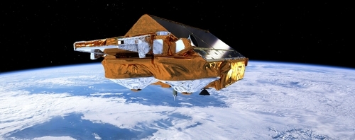
Learn about the role of satellite ‘Earth observation’ (EO) technology in monitoring the Earth's Cryosphere and the data it produces
In this course we will introduce you to the role of satellite Earth observation (EO) technology and the data it produces in monitoring the Earth’s Cryosphere. The Cryosphere is the portion of the Earth’s surface where water exists in solid form as glaciers, sea ice, ice caps, and areas of snow.
The first week will introduce you to EO and provide an introduction to the Cryosphere, and the challenges of monitoring it. The next 3 weeks will focus on sea ice, ice sheets & ice shelves, and mountain glaciers, rivers & lake ice and snow.
This course is designed for people who want to learn more about monitoring the Earth’s Cryosphere from space and the impact of climate change on it. The course can also help decision-makers, policy-makers, educators and communicators to gain a better insight into how satellite data can help them assess the the changes occurring in the Cryosphere, in order to better support adaptation and mitigation decisions
Get further insight in the course through the introductory video: