The annual global CCI land-cover maps at 300m resolution, spanning a 24-year period, from 1992 to 2015, have been used to develop the new OECD Green Growth headline indicator on land-cover change.
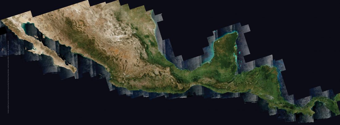
More recently, the same CCI land-cover team has also demonstrated the performance of the Copernicus Sentinel-2 mission to deliver 10 m resolution land-cover maps over very large areas, such as Africa and Central America.
The Mexico and Central America land-cover, presented at CentroGEO in Mexico City on 31 July 2018, is the result of a collaboration setup last summer by ESA HQ between ESA and AEM (Agencia Espacial Mexicana). The Mexican Space Agency Director General attended the meeting together with 30 more Mexican participants.
Read more about CCI land cover and OECD indicator here.