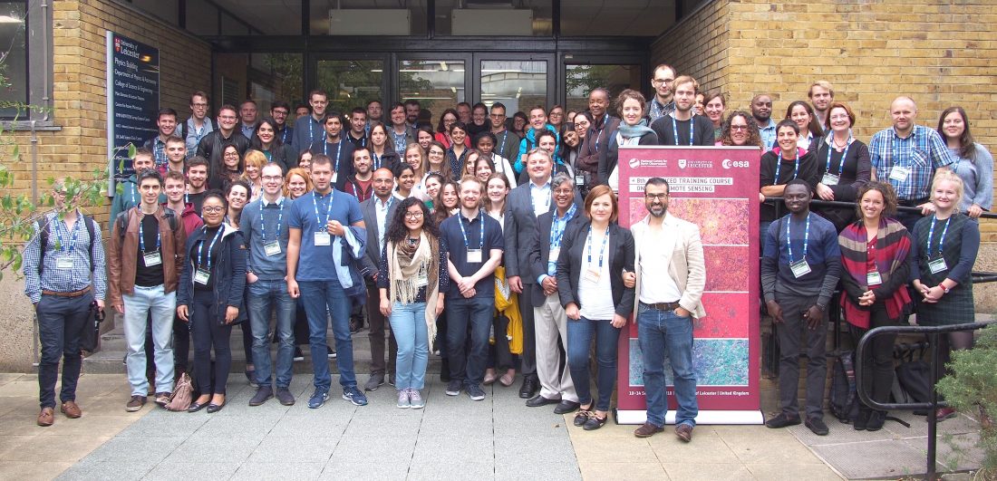
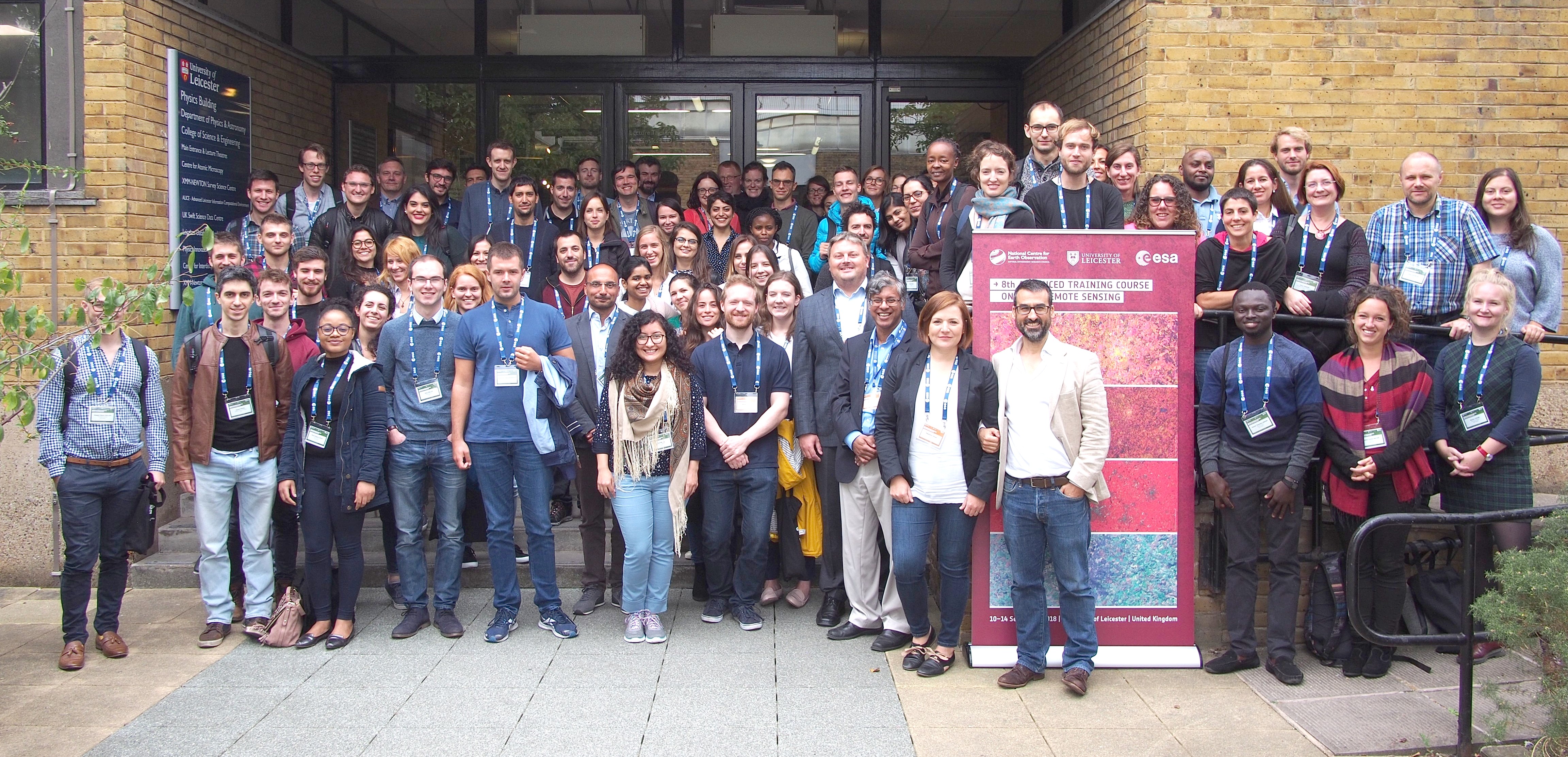
This week 72 early-career scientists and geoscience young professionals gather at the University of Leicester in the United Kingdom, to attend the eighth edition of ESA’s Advanced Training Course on Land Remote Sensing. The event is part of ESA’s efforts to train the next generation of Earth Observation experts and data users in state-of-the-art techniques in space-based land science and applications, provide a better understanding of the key concepts of current EO missions and data (in particular the Sentinel missions), as well as offer hands-on experience with software tools and methods used for data exploitation.
The course is hosted at the University of Leicester with wider support from the UK’s National Centre for Earth Observation (NCEO). The participants come from 26 different countries and are trained in remote sensing theory and hands-on practical data processing sessions by a team of 20 leading European professors and technical experts.
The course was formally opened by Martin Barstow, pro-vice-chancellor of the University of Leicester and John Remedios, head of the Earth Observation Science group at the university and concurrently of the NCEO. Following, presentations were given by ESA on the current status of EO programmes and missions and the data available to the science community. An overview of relevant EO-related activities in the UK were given by Simon Agass of the UK Space Agency (UKSA).
During the week a broad range of EO topics over land will be covered, in the optical, thermal and microwave domains. More general notions, such as change detection and multitemporal analysis, SAR interferometry, thermal remote sensing or land cover classification, etc. will be exemplified in-depth for a number of application areas: vegetation and forest monitoring, urban mapping, fire detection, mapping of floods, detection of changes in lake levels and river discharge, etc.
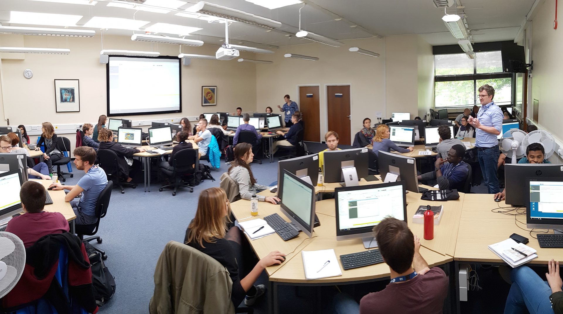
During the practicals, the participants will also receive training and guidance in using tools and cloud-based platforms, including the ESA-developed SNAP software or the Thematic Exploitation Platforms. The course also includes a series of small field experiments. For the second time in a row, presenting a poster in a dedicated poster session is a compulsory part of the course, allowing participants to get to know each other’s work, receive feedback from lecturers, and encourage networking and exchange of ideas.
The course material, poster contributions and interviews will be made available at http://eoscience.esa.int/landtraining2018. Follow the course on Twitter: #ESALTC18.