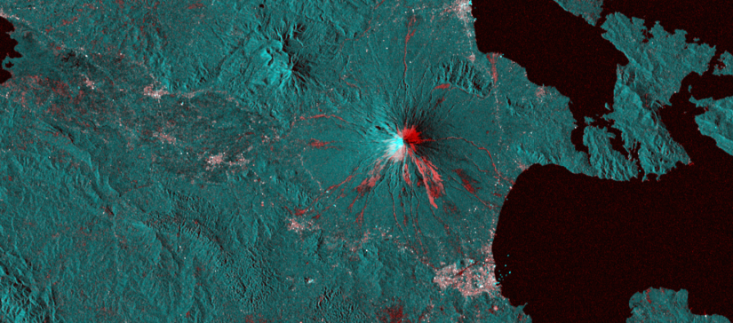
The Geohazards Exploitation Platform enables the exploitation of satellite EO data to support the geohazard community
The G-TEP platform is based upon virtualisation & federation of satellite EO data and methods with the aim to provide innovative responses to the needs of the geohazards community. It provides on-demand and systematic processing services for specific user community needs through advanced services available for both Optical & SAR data, connecting to massive compute power on multi-tenant Cloud Computing resources, to address the challenges of monitoring tectonic areas, globally.
The platform connects to full Copernicus Sentinels-1/2/3 repositories, Hi-Res Optical imagery as well as to 70+ TB of EO data (ERS and ENVISAT archive), and specific data collections from EO missions, such as JAXA’s ALOS-2, ASI’s Cosmo-Skymed and DLR’s TerraSAR-X, provided under special arrangements in the framework of the CEOS WG Disaster and GSNL.