DEIMOS SPACE UK LTD (GB)
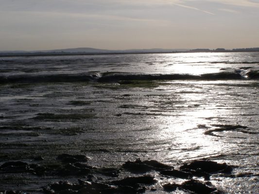
Intertidal habitats are highly productive areas; they provide bird habitat and feeding areas, commercial fish nursery grounds as well as the ecosystem services of nutrient cycling and coastal protection. Globally, these habitats are in decline due to overexploitation, direct damage and numerous other stressors. Achieving total ecosystem management (TEM) to support conservation and sustainable exploitation of the intertidal ecosystem requires extensive habitat monitoring and assessment of pressures. However, budgets for conservation and management are often limited and relevant data may not be collected or may be difficult to access or visualise in a holistic way.
The Total Ecosystem Management of the InterTidal Habitat (TEMITH) project aimed to design and prototype a solution to monitor pressures in the intertidal habitat in the Solent region, on the south coast of England, using EO data in addition to existing sources of information. From a proposed four pressures (algal mats, litter, sediment disturbance, wastewater plumes), two became the primary focus for model development as the project progressed.
Six U-Net convolutional neural network models were trained to achieve detections of three key sediment disturbance activities (bait digging, shellfish dredging, and boating) from drone and aerial imagery and from high resolution satellite imagery. Three ResU-Net models were developed for detection of algal mats, which can indicate nutrient enrichment, as well as seagrass and saltmarsh (intertidal vegetation of conservation importance), from high resolution satellite imagery. One Random Forest model was developed for their detection from Sentinel-2 imagery.
TEMITH was an inter-disciplinary collaboration between Deimos Space UK and the University of Portsmouth, combining expertise in EO and Deep Learning for feature extraction and ecology, respectively. With a statutory duty to protect and conserve intertidal habitats, Natural England and the Southern Inshore Fisheries and Conservation Authority were key partners associated with the project and provided valuable input on data needs and user requirements. Feedback from these and other prospective end users in an Evaluation Workshop highlighted the relevance of the TEMITH outputs and the potential to achieve a more holistic overview (spatial/temporal) of the detected intertidal activities and features with further development of the TEMITH services.