The Gravity Recovery And Climate Experiment (GRACE) mission has been instrumental in our understanding of the water cycle by measuring Total Water Storage Anomalies (TWSA). However, its coarse spatial and temporal resolutions have limited its applications in various scientific and socio-economic domains.
A recent scientific paper, an outcome of the 4DMED-Hydrology project, demonstrates a new methodology to downscale data both temporally and spatially.
The challenge
GRACE’s limitations in spatial (in the order of 200 km) and temporal (monthly average) resolutions have limited its utility in critical areas such as drought and flood analysis, groundwater depletion, and water management.
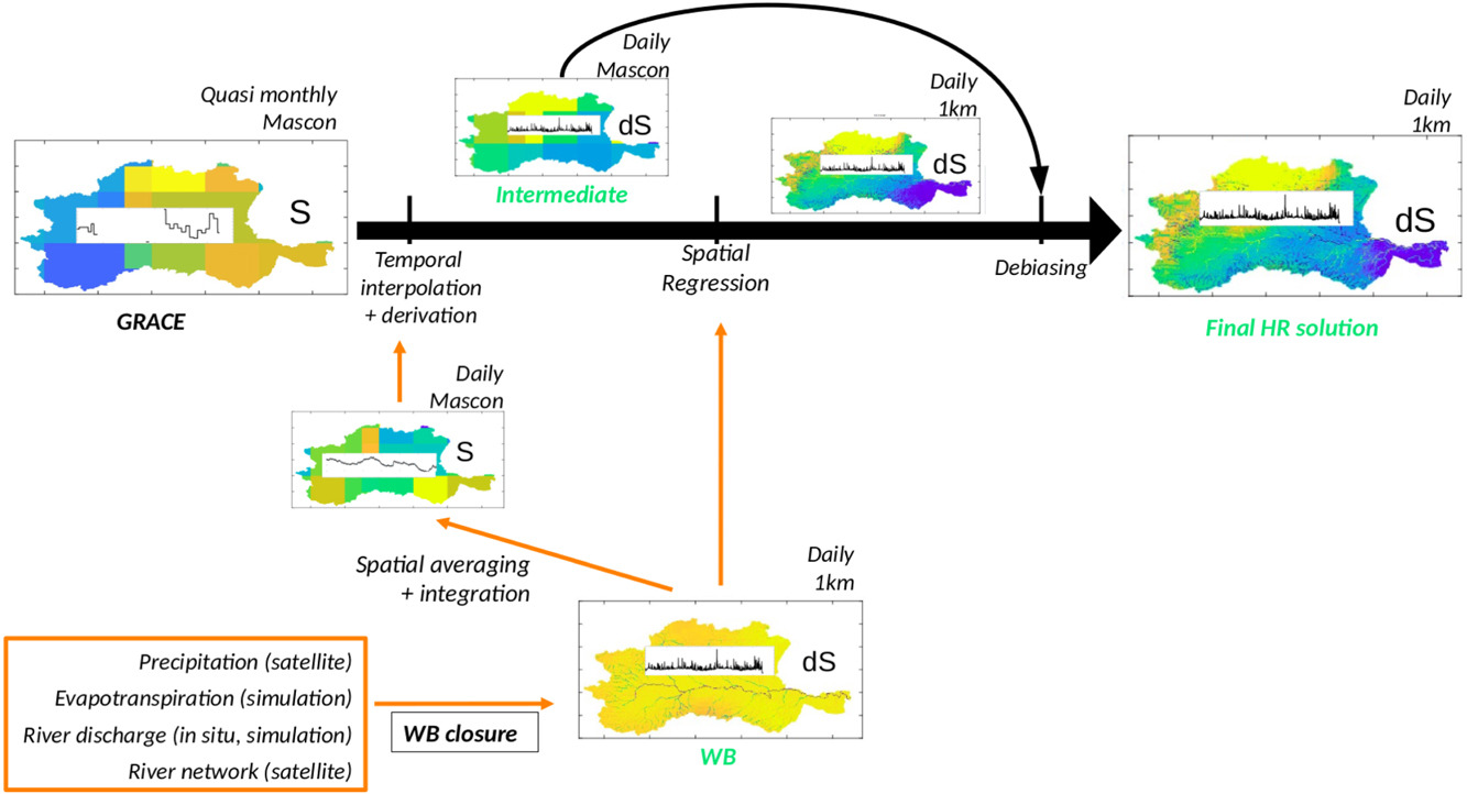
Recent studies have explored temporal downscaling strategies using GRACE data either at Level 1B or directly at Level 3 in combination with a Land Surface Model, but few have focused on spatial downscaling. A novel space/time downscaling approach leverages high-resolution auxiliary data related to the water cycle components.
Methodology and case study
The approach involves a two-step process: temporal downscaling followed by spatial downscaling. Temporal downscaling utilizes the dynamics of other water components along the river network to refine GRACE’s temporal resolution. Spatial downscaling employs an image-regression approach to enhance spatial resolution, adjusting for water mass variations in a de-biasing step.
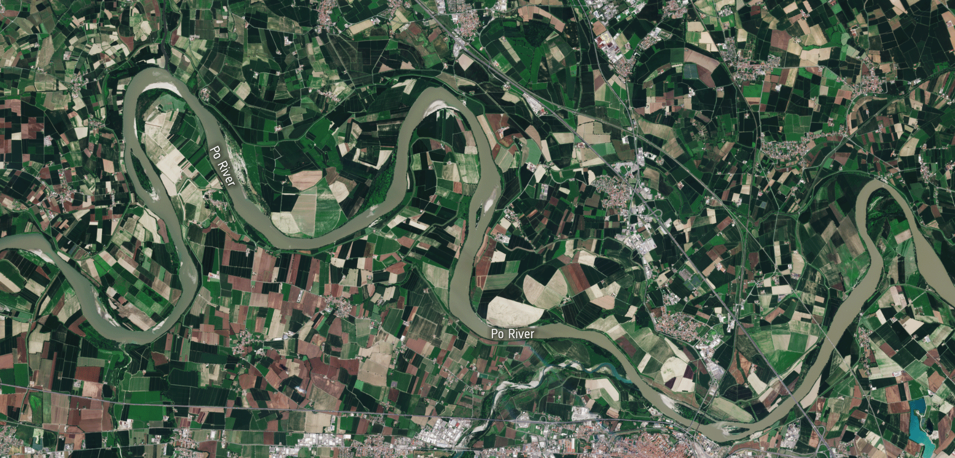
The downscaling methodology was tested in the challenging Po basin, characterized by diverse terrain and a complex river network. This region’s socio-economic reliance on hydrology makes it an ideal testbed for evaluating daily and 1-km resolution outputs of TWSA temporal changes.
Promising results
By bridging GRACE’s limitations with indirect information on the other water cycle components (precipitation, evapotranspiration and river discharge), constraining all this information by the water budget closure along the river network, we can obtain finer-scale information crucial for understanding water cycle dynamics. This approach opens new avenues for advancing hydrology science and developing applications for water resource management.
Featured image: Part of the Po Valley near Piacenza on a set of Copernicus Sentinel-2 images. Contains modified Copernicus Sentinel data (2020-2022), processed by ESA, CC BY-SA 3.0 IGO