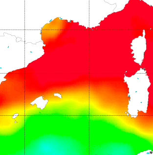
Data from Soil Moisture and Ocean Salinity (SMOS) mission can help to gain a better understanding of the Sea Surface Salinity (SSS) dynamics in the Mediterranean Sea, a hotspot for climate change. Unfortunately, this critical area is strongly affected by Radio Frequency Interference (RFI) and systematic biases due to the coast contamination (also called Land-Sea Contamination, (LSC)). Both effects make it very difficult to retrieve SMOS SSS in these areas.
Nonetheless, recently several studies have been presented showing that retrieving SMOS SSS in the Mediterranean is actually feasible.
Building on those studies a new methodology has been developed by the Barcelona Expert Center (BEC) and the GHER group at University of Liège (Belgium), under the ESA STSE project SMOS sea surface salinity data in the Mediterranean Sea (SMOS+ Med).
It is using a combination of the new retrieval debiased non-Bayesian algorithm, DINEOF and multifractal fusion has been used to obtain Sea Surface Salinity (SSS) fields over the North Atlantic Ocean and the Mediterranean Sea. The data used for the analysis is the 9-day 0.25 SMOS SSS L3 binned maps produced by the Barcelona Expert Centre (BEC), and it has been shown that the proposed methodology improves the accuracy with respect to the Objectively Analyzed maps and the L4 products that are currently being produced at the BEC.
These techniques are not only beneficial, but required to fully correct the SMOS SSS retrievals in some particular regions, and the application of such technology to enclosed seas suffering from strong sources of contamination, such as the China Sea, the Baltic Sea and the Black Sea, is promising to provide good results in the near future.
The complete description of the methodology as well as the analysis of the quality assessment of the product can be found in Olmedo, E. et al., Improving SMOS Sea Surface Salinity in the Western Mediterranean Sea through Multivariate and Multifractal Analysis, Remote Sensing, 2018, 10(3).
Products can be downloaded from the THREDDS server, while browsing of objective analysed and fused products is possible via the BEC WMS server.
Access is gained by following a simple registration process.