The possibility to operationally monitor the Earth’s land cover (changes) at high temporal resolution is nowadays given by EO multispectral dense time series available at global level, in particular Sentinel-2 and Landsat 8 data.
Nonetheless, keeping thematic maps regularly updated is a complex and time consuming task.
Large efforts have been devoted to date in testing supervised and semi-supervised classification methods that exploit already existing ground reference data when updating land cover maps. On the contrary, only few attempts try to extract reference data directly from the map that needs to be updated, regardless of how such map has been derived.
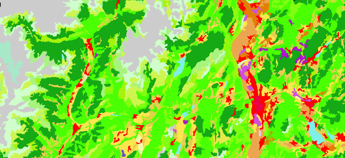
The work described in Paris et al., [2019] proposes an unsupervised method to automatically extract reliable training samples from an available/source thematic map (not necessarily obtained from EO data) using the multi-temporal information provided by time series of recent multispectral datasets.
The method foresees a preliminary adaptation (pixel size and nomenclature) of the source map to the available up-to-date multispectral EO data, the unsupervised identification of a training set and the final land cover map update based on an ensemble of SVMs.
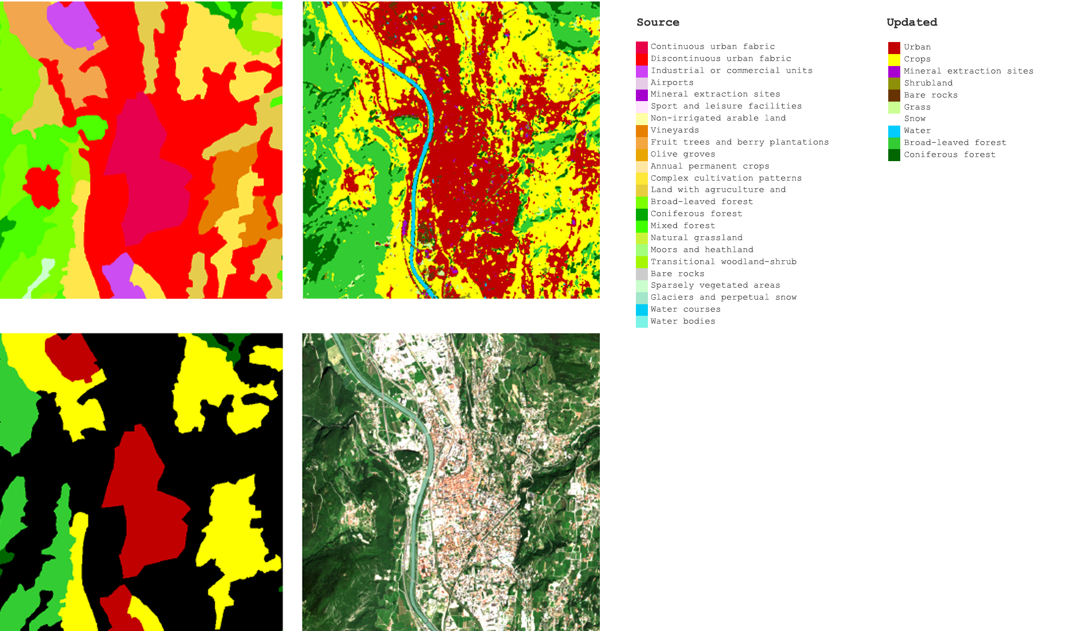
The two essential assumptions made for the identification of the training set are: that the available source map has labels associated to classes polygons to represent the dominant class within the polygon and; the semantics of the source thematic product classes can be converted in an exhaustive set of classes discriminable with the available multispectral time series of EO data.
In compliance to the latter assumption, no land use classes are included and the legend is making use of the land cover classification system (LCCS).
Final experimental results, with a classification overall accuracy of 93.29%, are a very promising basis for the design of a system to produce frequently updated land cover maps at large (e.g. national) scale.
Citation: Paris, Claudia & Bruzzone, Lorenzo & Fernandez-Prieto, Diego. (2019). A Novel Approach to the Unsupervised Update of Land-Cover Maps by Classification of Time Series of Multispectral Images. IEEE Transactions on Geoscience and Remote Sensing. PP. 1-19. 10.1109/TGRS.2018.2890404.