High atmospheric CO2 levels may lead to acidification of the ocean with severe consequences on marine ecosystems.
Estimates of CO2 fluxes at the air-sea interface strongly depend on the availability of partial pressure of CO2 at the surface ocean (pCO2), which is a critical parameter for a detailed study of the mechanisms involved in the ocean-atmosphere CO2 interactions. New approaches for inferring fluxes at high resolution from satellite data are presented in this paper, resulting from the ESA-SOLAS OceanFlux Upwelling study.
In this study, other Essential Ocean Variables, which have been measured from satellites and that share common structure features with pCO2, i.e. Sea Surface Temperature (SST) and Chlorophyll a concentration (Chl), have been used to improve the spatial and temporal quantification of oceanic pCO2.
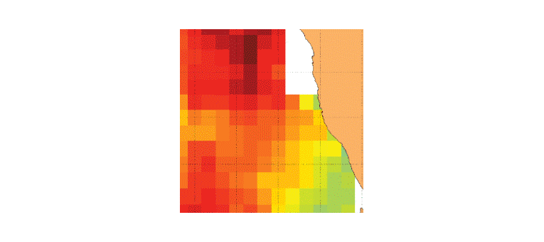
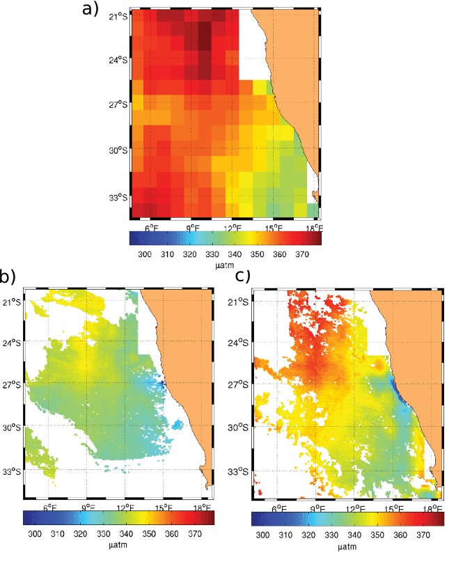
The resulting finer resolution maps of oceanic pCO2 ((b) and (c) in the figure) are obtained analyzing how the information is propagated across scales over the datasets, and incorporating the small scale common features of the well observed high-resolution variables (i.e. SST and Chl) into the not well resolved and coarser one (i.e. oceanic pCO2 , see (a) in the figure).
This methodology has been applied to monthly maps of oceanic pCO2 at 100 km of spatial resolution (obtained interpolating all available in-situ measurements) and daily high resolution (~4 km) satellite maps of sea surface temperature and chlorophyll a concentration in the South East Atlantic ocean. Outputs of this algorithm have been compared with in-situ measurements, showing an average improvement of about 4% as compared to the original coarser monthly maps. Furthermore values of oceanic pCO2 have been improved in points close to the coast with respect to the original input data.
This is a very promising result and opens up new possibilities for the inference of other key variables related to global warming, for instance DMS (dimethylsulfide).
The full study, authored by Ismael Hernández-Carrasco,Véronique Garçon, Jöel Sudre, Christoph Garbe, and Hussein Yahia , has been published in IEEE TRANSACTIONS ON GEOSCIENCE AND REMOTE SENSING, VOL. 56, NO. 11, NOVEMBER 2018 .